

Even Cooler Today Across Central Alabama At Midday
What’s Happening With Our Weather At 11:15 AM

Hard to see any clouds out there across Central Alabama as we approach the midday hour. You will definitely need a jacket if you head out to grab lunch, with the cooler temperatures and a little wind blowing at the time.
How Do The Temperatures Look Across The Area At 11:15 AM

We are even cooler then we were just 24 hours ago, as we are seeing lower 50s to the lower 60s across the area. Haleyville is the cool spot at 52 degrees, while Eufaula is the warm spot at 63 degrees. Birmingham is currently at 55 degrees.
Weather For The Rest Of Your Wednesday
If you enjoy cooler temperatures with plenty of sunshine, then today is the day for you. We’ll have maximum sunshine through the rest of the day and continued clear skies through evening and overnight hours. Winds will be breezy this afternoon averaging 5-10 MPH with gusts up to 15 MPH possible. Afternoon highs will be in the upper 50s to the mid-60s. Winds will slow for the night, but can still see winds averaging 2-5 MPH. Overnight lows will be in the upper 30s to the lower 40s.
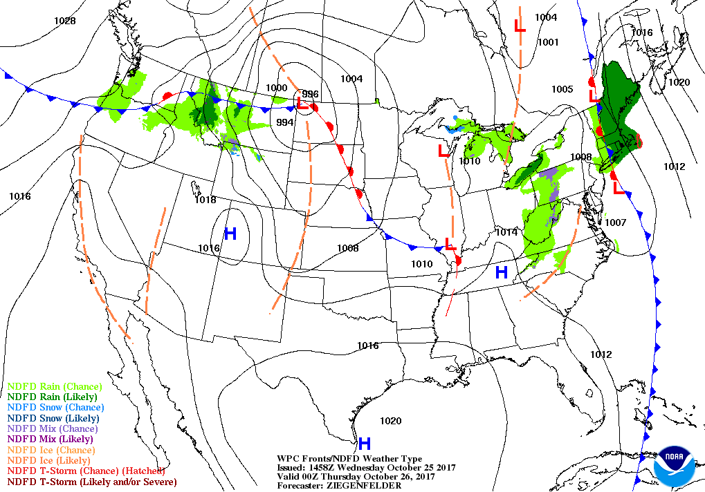
Warmer On Thursday But Remains Very Nice
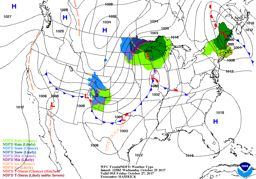
We’ll start to have warmer air advecting into the area ahead of a trough with an associated cold front that will be bring our next chance of rain during the late hours of Friday into the early afternoon hours on Saturday. Even with the warmer air, skies will continue to be mainly sunny during the day and clear during the night. Afternoon highs will be in the lower to mid-70s, with overnight lows in the mid-40s to the lower 50s.
The Tropics
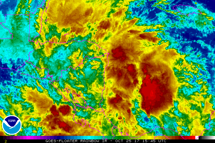
For the North Atlantic, Caribbean Sea, and the Gulf of Mexico: a broad area of low pressure located over the western Caribbean Sea continues to produce disorganized showers and thunderstorms over Nicaragua, Honduras, and the adjacent waters. Environmental conditions are expected to be conducive for the system to become more organized later this week as it moves slowly northward over the northwestern Caribbean Sea. Strong upper-level winds associated with an approaching cold front will likely prevent further development by Sunday. Chance of tropical depression development within the next 5 days is at 40%.
Stay up-to-date with the latest updates on all of the tropical systems out in the Atlantic Ocean, Caribbean Sea, or in the Gulf of Mexico with the latest posts in our Tropical Weather category. Click here to see the latest.
Gulf Coast Weather
The Beach Forecast is partially underwritten by the support of Brett/Robinson Vacation Rentals in Gulf Shores and Orange Beach. Click here to see Brett/Robinson’s Off Season Deals now!
On This Day In Weather History
1981 – A northbound tornado caused two million dollars damage to Bountstown, FL, in less than five minutes. Fortunately no deaths occurred along its six mile path, which was 30 to 100 yards in width. Radar at Apalachicola had no indication of a tornado or severe weather.
WeatherBrains
Check out the show at www.WeatherBrains.com. You can also subscribe on iTunes. You can watch the show live at live.bigbrainsmedia.com on Monday nights starting at 8:30 PM CDT. You will be able to see the show on the James Spann 24×7 weather channel on cable or directly over the air on the dot 2 feed.
Category: Alabama's Weather, ALL POSTS
About the Author (Author Profile)
Scott Martin is an operational meteorologist, professional graphic artist, musician, husband, and father. Not only is Scott a member of the National Weather Association, but he is also the Central Alabama Chapter of the NWA president. Scott is also the co-founder of Racecast Weather, which provides forecasts for many racing series across the USA. He also supplies forecasts for the BassMaster Elite Series events including the BassMaster Classic.Subscribe
If you enjoyed this article, subscribe to receive more just like it.


