

Cloudy With Rain Out There At Midday, Beginning To Dry Out To The West
I’m going to be a little selfish to start off today’s midday forecast by wishing my wife, Amy, a very HAPPY BIRTHDAY. It is a big one in the year’s department, but I will not (on my life) divulge that information. We’ll be having a big throwdown for her tomorrow night, so it will be a great birthday. So, now on to the weather…
RADAR CHECK AT 11:45
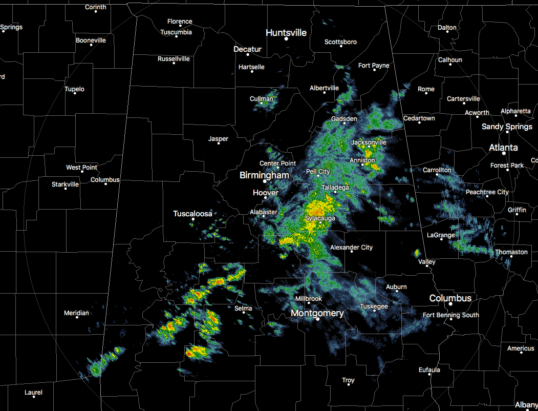
At this point, before the midday hour arrives, most of the shower activity has either pushed east of the I-65 corridor for the northern half of Central Alabama, with some scattered showers back to the west of I-65 in the southern half. These are all continuing to push off to the east. Temperatures at this point are running in the upper 50s to the mid-60s for nearly all of Central Alabama, with 70s showing up in the extreme southern parts of the area.
WEATHER FOR THE REST OF THE DAY
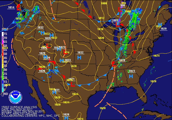
We can expect scattered showers across the eastern and southern parts of the area for the rest of the afternoon hours out ahead of a shortwave, but we can expect isolated showers across the rest of the area along and ahead of the cold front that will be pushing into the state very shortly. With the passage of the cold front tonight, showers will most likely come to an end, but a few sprinkles could linger for an hour or so afterwards. All of the rainfall should be out of the area soon after midnight tonight, but we may have some dense fog to contend with. Daytime highs will be in the mid-60s to the mid-70d throughout the area, with lows dipping into the mid-40s to the mid-50s.
FRIDAY’S WEATHER
We may have to deal with some low clouds throughout the day on Friday and could affect our daytime high temperatures. As of now, we’ll go with a mix of sun and clouds throughout Central Alabama, with highs reaching the mid-60s to the lower 70s throughout the area. If we have more cloud cover throughout the day, those highs could be a few degrees cooler. The high school football games tomorrow night will be in great shape. We’ll have dry conditions with temperatures starting off in the 50s at kickoff and dropping into the mid-40s to the mid-50s by the final whistle.
LAST DAY OF THE ATLANTIC HURRICANE SEASON
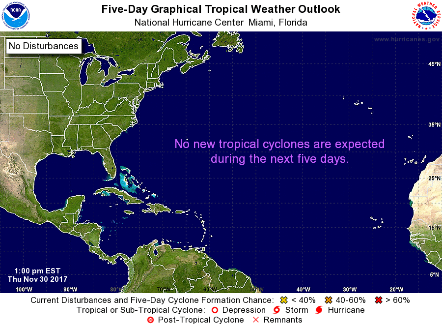
After a very busy season that saw multiple landfalls on the shores of the United States and the island nations in the Atlantic and the Caribbean Sea, the last day has arrived and it is very quiet out there. No tropical cyclone development is expected throughout the next five days.
THE BEACH FORECAST
Be sure to keep up to date with the detailed forecasts from Fort Morgan over to Panama City Beach with the AlabamaWx Weather Blog. Click here to see the AlabamaWx Beach Forecast Center page. The Beach Forecast is partially underwritten by the support of Brett/Robinson Vacation Rentals in Gulf Shores and Orange Beach. Click here to see Brett/Robinson’s Off-Season Deals now!
ON THIS DAY IN WEATHER HISTORY
1957 – Lee slope winds enhanced by Hurricane Nina gusted to 82 mph at Honolulu, Hawaii, a record wind gust for that location. Wainiha, on the island of Kauai, was deluged with 20.42 inches of rain, and 35-foot waves pounded some Kauai beaches, even though the eye of the hurricane was never within 120 miles of the islands.
WEATHERBRAINS
Check out the show at www.WeatherBrains.com. You can also subscribe on iTunes. You can watch the show live at live.bigbrainsmedia.com. You will be able to see the show on the James Spann 24×7 weather channel on cable or directly over the air on the dot 2 feed.
E-FORECAST
Get the Seven-Day Forecast delivered directly to your inbox by email twice daily. It is the most detailed weather forecast available in Central Alabama. Subscribe here. It’s free!
ADVERTISE WITH US
Deliver your message to a highly engaged audience by advertising on the AlabamaWX.com website. The site has enjoyed 15.4 MILLION page views in the past 12 months. Don’t miss out! We can customize a creative, flexible and affordable package that will suit your organization’s needs. Contact Bill Murray at (205) 687-0782.
Category: Alabama's Weather, ALL POSTS
About the Author (Author Profile)
Scott Martin is an operational meteorologist, professional graphic artist, musician, husband, and father. Not only is Scott a member of the National Weather Association, but he is also the Central Alabama Chapter of the NWA president. Scott is also the co-founder of Racecast Weather, which provides forecasts for many racing series across the USA. He also supplies forecasts for the BassMaster Elite Series events including the BassMaster Classic.Subscribe
If you enjoyed this article, subscribe to receive more just like it.


