

Showers Today, Dry Sunday
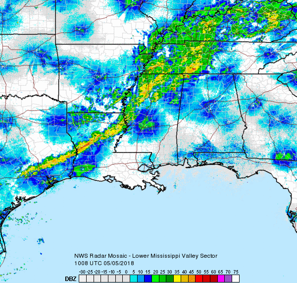
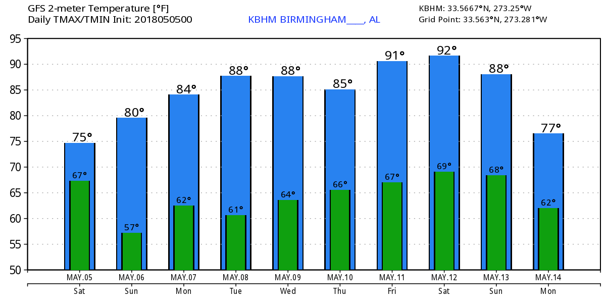
Clouds cover nearly all of Alabama this morning as we watch the slow but steady progress of a cold front across the Southeast US. Using the term cold front but there really is not much temperature contrast across the front with basically the line of storms and a wind shift to mark the front. While a few storms may be strong, I don’t expect to see any widespread severe storms, but nearly everyone should see some rain today. Highs today should be in the middle and upper 70s.
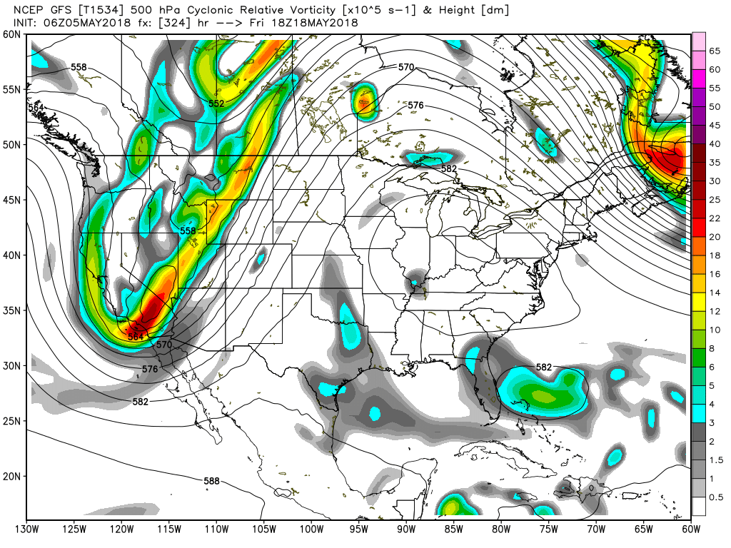
The upper trough moves across the Mississippi River this afternoon and establishes a trough over the eastern third of the country Sunday and Monday. A weak short wave could bring another brief shot at some showers Monday evening into Tuesday morning. Highs Sunday through Tuesday should be in the lower 80s, maybe upper 70s on Sunday.
The middle of the week looks fairly quiet and somewhat uneventful for weather with highs in the 81 to 84 range. Thursday we are watching a short wave move across the Great Lakes region that will bring another front into the Tennessee River Valley. Weak ridging over the Lower Mississippi River Valley along with the fast motion of the short wave should keep the front from pushing into the Southeast US with small chances for showers in Central Alabama on Thursday. Highs don’t change much as they remain in the lower 80s.
The weak ridge over the Southeast US grows a trifle stronger on Friday and Saturday, and this should help to limit showers and see highs climb into the middle 80s. The GFS and the Euro continue to show different solutions for next weekend with the European much drier than the GFS, though the GFS is not very wet with isolated showers mainly over the Tennessee River Valley.
Looking out into voodoo country, the GFS is projecting a huge change in the upper level pattern. By Monday the GFS develops a huge upper ridge over Oklahoma and Kansas with heights just above 588. The upper ridge closes off with a 594 height contour by May 16th and moves that huge ridge over the eastern half of the country from the 16th through the 20th. If this pattern and the strength of the upper ridge verify, we are looking at some very, very hot temperatures for the middle of May, potentially the first 90-degree plus readings for Central Alabama. We can only hope that this changes in the next model runs.
Beach Forecast: Click here to see the AlabamaWx Beach Forecast Center page.
WeatherBrains: Don’t forget you can listen to our weekly 90 minute netcast anytime on the web, or on iTunes. This is the show all about weather featuring many familiar voices, including our meteorologists here at ABC 33/40.
I’ll be heading to Altoona this morning for Altoona Day. If you are in the area, drop by and say hello. I expect to have the next Weather Xtreme Video posted here first thing on Sunday morning. Have a great day, be aware of the showers! Godspeed.
-Brian-
Category: Alabama's Weather, ALL POSTS, Weather Xtreme Videos
About the Author (Author Profile)
Brian Peters is one of the television meteorologists at ABC3340 in Birmingham and a retired NWS Warning Coordination Meteorologist. He handles the weekend Weather Xtreme Videos and forecast discussion and is the Webmaster for the popular WeatherBrains podcast.Subscribe
If you enjoyed this article, subscribe to receive more just like it.


