

Stronger Storms Continue To Slowly Move South-Southwestward Through The Area
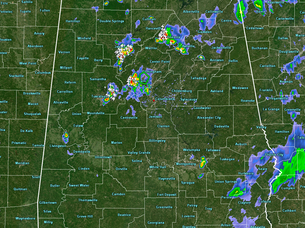
Strong thunderstorms located over portions of Walker, Blount, Jefferson, and Tuscaloosa counties continue to move to the south-southwest slowly around 10 MPH. Rainfall is finally coming to an end for the moment in Midfield and Fairfield, as parts of those communities are currently under water due to over 4 inches of radar-estimated rainfall that fell within a 90-minute time frame.
We do not have any severe thunderstorm warnings in effect for anyone in Central Alabama, but the Walker and Blount storms currently have Significant Weather Advisories on them.
Please take cover if these storms are headed in your direction, as there is plenty of cloud-to-ground lightning being produced. When thunder roars, go indoors. If you can hear thunder, you are close enough to the parent thunderstorm to be struck by lightning.
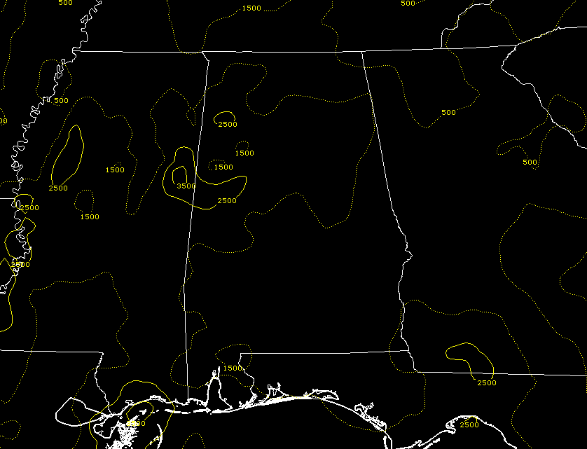
The good news is that the air over the northeastern parts of the area is becoming more stable, as rain-cooled air is over most of that part of the area. We still have higher instability values over the western parts of the area, so there is enough fuel for these storms to continue for a little while longer before we lose enough of the heat from the daytime hours for the instability and storms to dissipate. We’ll continue to keep you posted.
Category: Alabama's Weather, ALL POSTS
About the Author (Author Profile)
Scott Martin is an operational meteorologist, professional graphic artist, musician, husband, and father. Not only is Scott a member of the National Weather Association, but he is also the Central Alabama Chapter of the NWA president. Scott is also the co-founder of Racecast Weather, which provides forecasts for many racing series across the USA. He also supplies forecasts for the BassMaster Elite Series events including the BassMaster Classic.Subscribe
If you enjoyed this article, subscribe to receive more just like it.


