

Early Morning Look at Alabama’s Weather
It is a calm morning across Alabama on this May Sunday.
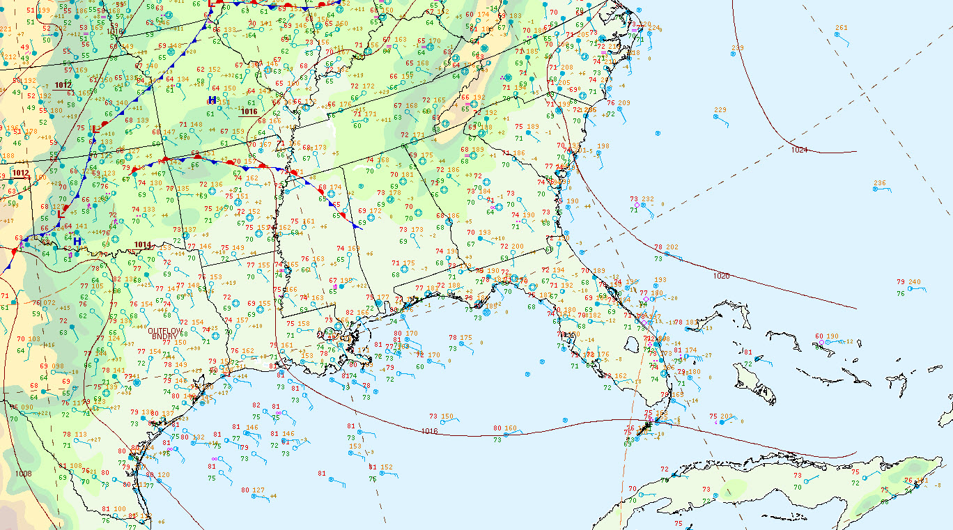
Thunderstorms over Southwest Alabama drifted into Mississippi during the predawn hours and mostly fell apart. The cloud debris from those storms and others to the north last night is giving us partly cloudy skies.
There are a few showers near Dothan over Southeast, but other than those and the leftover showers over southern Mississippi, the nearest rain to Alabama is from severe storms over southeastern Kansas and southwestern Missouri.
In areas where skies have been mostly clear overnight, fog has formed, but it is not dense and no significant visibility problems are expected.
Temperatures are in the upper 60s and lower 70s. Dewpoints are feeling a bit humid, in the middle and upper 60s.
An upper-level ridge is beginning to build over Alabama, setting the stage for summerlike conditions for the remainder of the week. But an upper-level low remains over the northeastern Gulf of Mexico, and it will help to trigger scattered showers and storms on its outer periphery this afternoon. Alabama will find itself squarely in that area and we will see a few of those storms form again today. They could be a little more numerous than those of yesterday, but still, coverage will be less than 50%.
All in all, it should be another great day at Greystone for the final day of the Regions Tradition.
Highs will be in the upper 80s.
Category: Alabama's Weather, ALL POSTS
About the Author (Author Profile)
Bill Murray is the President of The Weather Factory. He is the site's official weather historian and a weekend forecaster. He also anchors the site's severe weather coverage. Bill Murray is the proud holder of National Weather Association Digital Seal #0001 @wxhistorianSubscribe
If you enjoyed this article, subscribe to receive more just like it.


