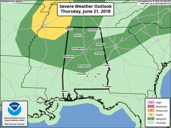
Marginal Risk Extended Farther South For Today
This update from the Storm Prediction Center was released right after I completed and posted my midday report on the blog. So here is the latest forecast update for the rest of today and tonight with the new information.
We’ll have a few breaks in the clouds at times today allowing for some sun, but the bad side is that any extra heating will add to the instability which could fire even more storms through the afternoon and into the early evening hours. Showers and storms will be likely through the afternoon and early evening hours, some of which north of a line from roughly Cuba to Fort Deposit to Auburn could reach severe criteria with damaging winds up to 60 MPH.
All storms today may have dangerous cloud-to-ground lightning and heavy rainfall, so some localized flooding issues could arise. Afternoon highs will make it up into the mid-80s to the mid-90s from northwest to southeast. Showers and storms will linger into the late night and through the overnight hours, with the higher rain chances north of a line from Demopolis to Alabaster to Anniston. Lows will be in the lower to mid-70s.
Category: Alabama's Weather, ALL POSTS


