

Hot & Mainly Dry: It’s The Midday Nowcast For Central Alabama
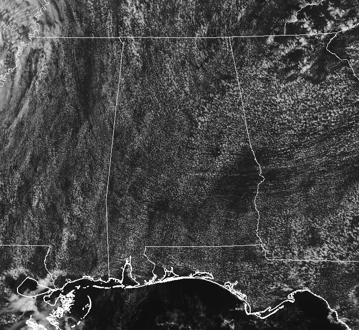
While there is one tiny shower showing up in the northwestern corner of Marion County at 12:30 PM, all of Central Alabama is rain free at this point with a mix of sun and clouds. The good news is that the remnants of Gordon are now far enough away from the area to affect our weather. Temperatures at this point are running in the mid-80s to the lower 90s, with Uniontown topping out as the warm spot at 92 degrees. Birmingham was not far behind, sitting at 90 degrees.
For the rest of the afternoon hours, we’ll have a mix of sun and clouds with only a very slight chance of a few isolated showers or storms. Afternoon highs will top out in the lower to mid-90s. For high school football games this evening, any showers will be diminishing and we should have a decent but warm night. Temperatures at kickoff will be in the mid to upper 80s and will drop down only to the upper 70s to the lower 80s by the final whistle. Overnight lows will be in the upper 60s to the lower 70s.
Saturday should be another hot and humid day across Central Alabama with a mix of sun and clouds, with a small risk of a few isolated showers or storms. Afternoon highs will be back up in the upper 80s to the lower 90s. Any shower activity should quickly diminish close to sunset with the exception of the northwestern corner, where a few showers or storms may move in later in the night before sunrise on Sunday. Lows will be in the upper 60s to the lower 70s.
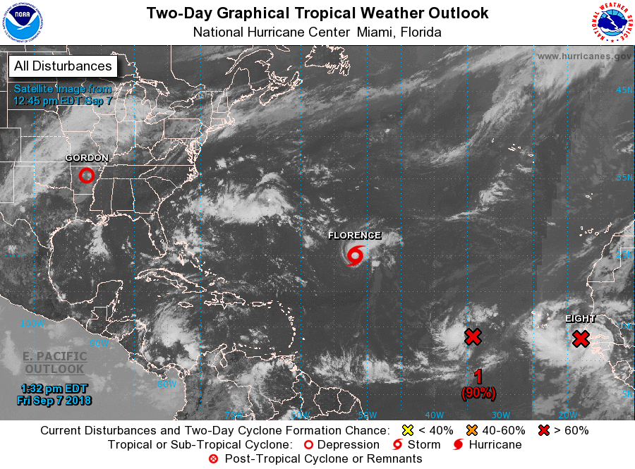
The tropics are very busy, with Tropical Storm Florence, Potential Tropical Cyclone 8, and another tropical wave that is expected to become another depression or storm very shortly. NHC has Florence restrengthening back into a hurricane and getting close to the US Mainland by Wednesday morning as a major hurricane. It is still too early to tell if she will make a direct impact as models are still in somewhat of a disagreement, but rough surf and life-threatening rip currents will arrive on the east coast this weekend. The other two will strengthen into either depressions or storms, but they are too far out for exact details on those at this time.
Get the latest weather and rip current forecasts for the beaches from Fort Morgan to Panama City on our Beach Forecast Center page. There, you can select the forecast of the region that you are interested in.
Category: Alabama's Weather, ALL POSTS
About the Author (Author Profile)
Scott Martin is an operational meteorologist, professional graphic artist, musician, husband, and father. Not only is Scott a member of the National Weather Association, but he is also the Central Alabama Chapter of the NWA president. Scott is also the co-founder of Racecast Weather, which provides forecasts for many racing series across the USA. He also supplies forecasts for the BassMaster Elite Series events including the BassMaster Classic.Subscribe
If you enjoyed this article, subscribe to receive more just like it.


