

Plenty Of Sun But Still Rather Cool At Midday

CONDITIONS ACROSS CENTRAL ALABAMA AT 11:45 AM: Plenty of sunshine across much of the area as we are approaching the noon hour, with the only exception of some high, thin clouds over the southern portions of the area. Not a single drop of rain on the radar and none is expected until tomorrow as some gulf moisture will be pulled up into the area. Temperatures are a little warmer at this time compared to just 24-hours ago, with readings in the lower 40s to just at 50 degrees from north to south. The cold spot is 42 degrees at the St. Clair County Airport, while the warm spot is Uniontown at 50 degrees. Birmingham was sitting at 45 degrees.
WEATHER FOR THE REST OF YOUR WEDNESDAY: We’ll continue to have a very beautiful day across Central Alabama for the rest of the afternoon and into the early evening hours with plenty of sunshine and very few clouds over the southern parts of the area. Afternoon highs will be in the mid-40s to the mid-50s across the area from northeast to southwest. For tonight and into the overnight hours, clouds will be on the increase but we will remain rain-free until after daybreak on Thursday. Overnight lows will be in the 30s.
SHOWERS POSSIBLE ON THURSDAY WITH WARMER TEMPERATURES: Our surface winds will begin to shift more out of the south pulling up some moisture up from the gulf, as a high will be centered around or near the Atlantic coast of Georgia. That moisture will be pulled up and around the top side of that high, bringing a chance of a few light showers mainly over the north and northwestern parts of Central Alabama. South of the I-20 and I-59/20 corridors, very little if any rain is expected, while north of that, rain chances will range from 20-40% throughout the day. Skies will be mostly cloudy for much of the area and afternoon highs top out in the mid-50s to the mid-60s from northeast to southwest.
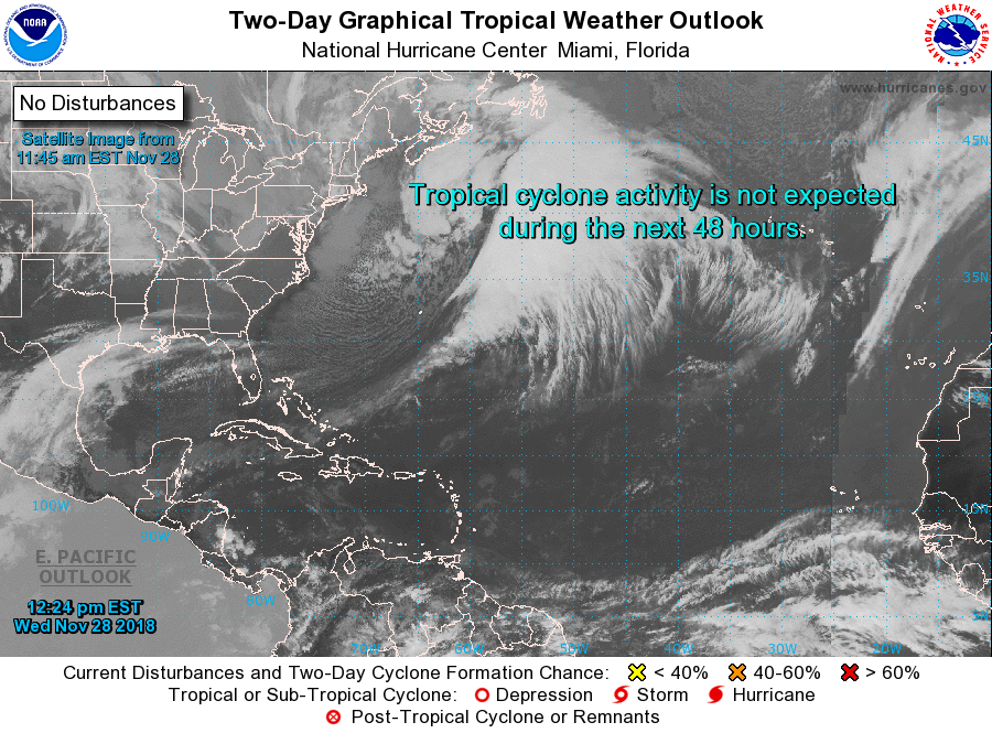
THE TROPICS: All is quiet across the Atlantic Ocean, Gulf of Mexico, and the Caribbean Sea, and no new tropical cyclones are expected to form within the next five days. The Atlantic Hurricane Season comes to an end at the end of the day on Friday, November 30th.
BEACH FORECAST CENTER: Get the latest weather and rip current forecasts for the beaches from Fort Morgan to Panama City on our Beach Forecast Center page. There, you can select the forecast of the region that you are interested in.
WE’RE HAVING A RECORD-BREAKING YEAR… ADVERTISE WITH US TODAY!: Don’t miss out! We have enjoyed over 18.5 MILLION page views on AlabamaWx.com so far in 2018. We can customize a creative, flexible and affordable package that will suit your organization’s needs. Contact Bill Murray at (205) 687-0782.
E-FORECAST: Get the Alabama Wx Weather Blog’s Seven-Day Forecast delivered directly to your inbox by email twice daily. It is the most detailed weather forecast available in Central Alabama. Subscribe here… It’s free!
CONNECT ON SOCIAL MEDIA: You can find the AlabamaWx Weather Blog on the major social media networks:
Facebook
Twitter
WEATHERBRAINS: Don’t forget you can listen to our weekly 90 minute netcast anytime on the web at WeatherBrains.com or on iTunes, Stitcher, or Spotify. This is the show all about weather featuring many familiar voices, including the meteorologists at ABC 33/40.
ON THIS DAY IN WEATHER HISTORY: 1988 – Thunderstorms spawned five tornadoes in North Carolina during the early morning hours. A powerful tornado ripped through one of the most densely populated areas of Raleigh destroying hundreds of homes and damaging thousands more. The tornado killed four persons along its 83-mile track and injured 154 others. Total damage was estimated at more than 77 million dollars.
Category: Alabama's Weather, ALL POSTS
About the Author (Author Profile)
Scott Martin is an operational meteorologist, professional graphic artist, musician, husband, and father. Not only is Scott a member of the National Weather Association, but he is also the Central Alabama Chapter of the NWA president. Scott is also the co-founder of Racecast Weather, which provides forecasts for many racing series across the USA. He also supplies forecasts for the BassMaster Elite Series events including the BassMaster Classic.Subscribe
If you enjoyed this article, subscribe to receive more just like it.


