

Precipitation Continuing To Push Southward, A Few Flurries Still Possible

NORTH ALABAMA: Drier air being advected into North Alabama along with the core of a trough dropping well to the southeast of the area, precipitation is starting to come to an end over the northern parts of the state. While some snow accumulations have occurred in the higher elevations of the state in the northeast, none has accumulated on the roadways. This is the kind of snowfall that I like.
Media is reporting 1/4 to 1/2 inch on the ground up on Monte Sano near the firehouse, but all of that was on the grassy areas and trees, and not on the roadways.
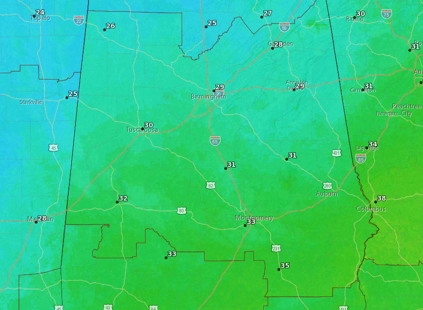
Temperatures have stayed above freezing in North Alabama, currently in the upper 30s to the lower 40s.
As the precipitation continues to move south and east, drier air will be ushered in bringing an end to the activity to North Alabama by the end of the afternoon.
As temperatures are forecast to drop into the lower to mid-20s throughout North Alabama, dewpoints will fall into the teens to the lower 20s. That, mixed in with enough of a breeze from the pressure gradient, may evaporate most of the moisture from the roadways. While no major travel issues are expected, there is a small possibility for a few slick spots out there on the lesser traveled roadways.
CENTRAL ALABAMA: Much of the shower activity, mixed with a few flurries, has now mostly moved into the northern parts of Central Alabama. The heaviest of the precipitation is falling from Berry to Oakman to Sipsey and to Sumiton. At this point, radar is showing all of this activity being light to moderate rainfall, but some possible snow flurries are falling over western Blount County and the extreme northern parts of Jefferson County. Looking out my window in Warrior, all I see is a light rain.
Much of the activity is located along and north of the I-20 corridor at this time and is expected to continue to move south and eastward through the afternoon and evening hours. Temperatures at this point are in the upper 30s to the lower 40s across the area.
Precipitation will continue to decrease in coverage from west to east during the afternoon and evening hours, with the latest HRRR showing much if not all of Central Alabama precipitation-free by 8:00-9:00 pm tonight. Temperatures should stay above freezing until right around midnight when skies start to clear out from the west allowing for more radiational warmth to escape into space. By that time all of the precipitation will be over but will there be enough of drier air and a breeze to help evaporate the moisture from the roadways.
Much of Central Alabama doesn’t go below the freezing mark until around 4:00 am (shown above), but will it be below freezing long enough for any surviving moisture to cause any slick spots. The areas for that possibility being the highest will be north of the I-20 corridor. Travel issues are not expected even in these locations, but a few slick spots could occur on the lesser traveled roadways.
Category: Alabama's Weather, ALL POSTS
About the Author (Author Profile)
Scott Martin is an operational meteorologist, professional graphic artist, musician, husband, and father. Not only is Scott a member of the National Weather Association, but he is also the Central Alabama Chapter of the NWA president. Scott is also the co-founder of Racecast Weather, which provides forecasts for many racing series across the USA. He also supplies forecasts for the BassMaster Elite Series events including the BassMaster Classic.Subscribe
If you enjoyed this article, subscribe to receive more just like it.


