

It’s Cold… Clouds Continue To Hang Tough At Midday
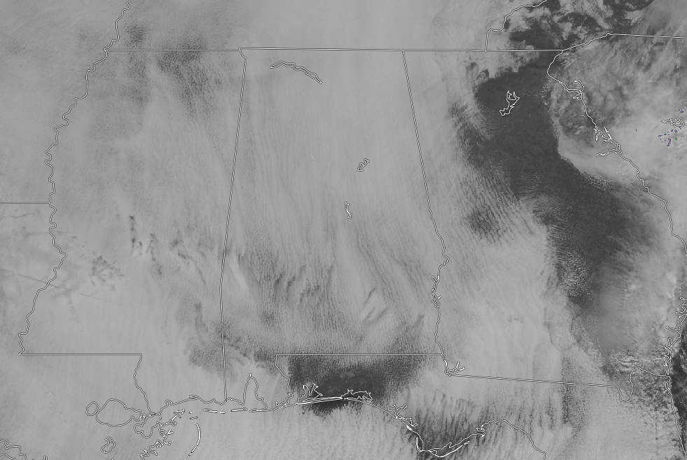
CONDITIONS AT 11:15 AM: Skies across the area are cloudy and a dull gray at this point on your late Tuesday morning. Those clouds are keeping the sun for providing any help in warming up those temperatures outside. Temperature readings from across the area are in the mid-30s to the lower 40s, with the warm spots being Eufaula and Tuscaloosa at 43 degrees. The cool spot is Haleyville at 36 degrees.
WEATHER FOR THE REST OF YOUR TUESDAY: Skies will continue to be cloudy for the remainder of the afternoon and into the early evening hours, and unfortunately, those clouds will keep the sun from helping to warm our temperatures. Afternoon highs will top out in the mid-40s to the lower 50s across the area from north to south. Clouds will eventually begin to clear out late and we should have mostly clear skies for the late night through the overnight hours. Lows will be in the upper 20s to the mid-30s.
A MUCH BRIGHTER DAY ON WEDNESDAY: The good news is that we’ll have a good bit of sunshine to help warm those temperatures on your “Hump Day.” Skies will be mostly sunny and daytime highs will be running very close to 10 degrees warmer than what we are seeing today. Highs will top out in the mid to upper 50s. Skies will remain mostly clear through the evening and into the late night hours, but clouds will begin to move in from the northwest before sunrise. Overnight lows will be in the mid-30s to the lower 40s.
ON THIS DAY IN WEATHER HISTORY: 1987 – A powerful storm over the Southern Plateau and the Southern Rockies produced 24 inches of snow at Colorado Springs CO, including 22 inches in 24 hours, a January record. High winds in the southwestern U.S. gusted to 65 mph in the Yosemite Valley of California.
BEACH FORECAST CENTER: Get the latest weather and rip current forecasts for the beaches from Fort Morgan to Panama City on our Beach Forecast Center page. There, you can select the forecast of the region that you are interested in.
WE HAD A RECORD-BREAKING YEAR IN 2018! ADVERTISE WITH THE BLOG!: We have enjoyed over 19.9 MILLION page views on AlabamaWx.com for 2018… breaking our previous record by over 3 million page views. Don’t miss out! We can customize a creative, flexible and affordable package that will suit your organization’s needs. Contact Bill Murray at (205) 687-0782.
E-FORECAST: Get the Alabama Wx Weather Blog’s Seven-Day Forecast delivered directly to your inbox by email twice daily. It is the most detailed weather forecast available in Central Alabama. Subscribe here… It’s free!
CONNECT WITH THE BLOG ON SOCIAL MEDIA: You can find the AlabamaWx Weather Blog on the major social media networks:
Facebook
Twitter
WEATHERBRAINS: Don’t forget you can listen to our weekly 90 minute netcast anytime on the web at WeatherBrains.com or on iTunes, Stitcher, or Spotify. This is the show all about weather featuring many familiar voices, including the meteorologists at ABC 33/40.
Category: Alabama's Weather, ALL POSTS
About the Author (Author Profile)
Scott Martin is an operational meteorologist, professional graphic artist, musician, husband, and father. Not only is Scott a member of the National Weather Association, but he is also the Central Alabama Chapter of the NWA president. Scott is also the co-founder of Racecast Weather, which provides forecasts for many racing series across the USA. He also supplies forecasts for the BassMaster Elite Series events including the BassMaster Classic.Subscribe
If you enjoyed this article, subscribe to receive more just like it.


