

Chilly Outside At Midday, A Little Warmer On Thursday
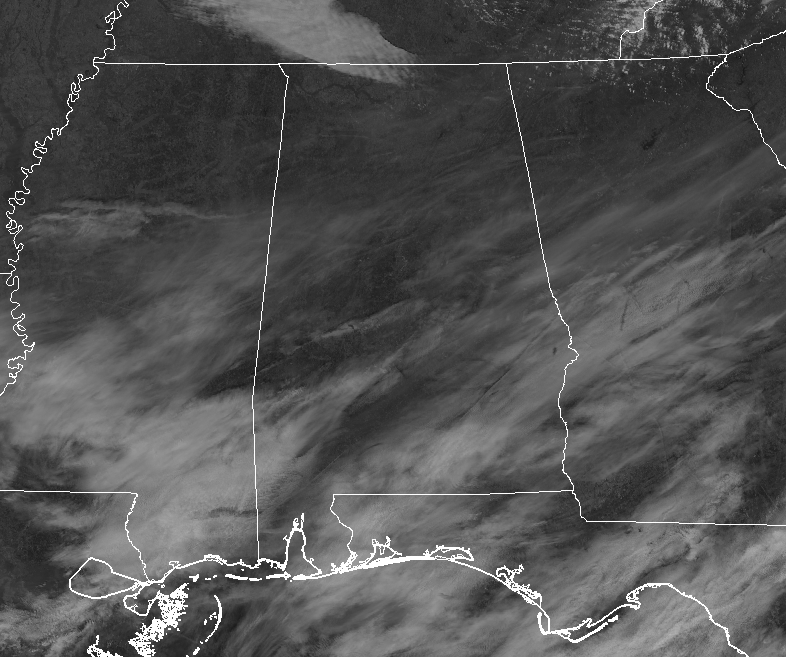
As of 12:00 pm, we have bright sunshine across much of Central Alabama with a few thin clouds floating overhead filtering out some of the sun’s rays. Temperatures are still chilly at the noon hour with the mid-30s to the upper 40s across the area from northwest to southeast. Haleyville was at 34 degrees, Birmingham at 39 degrees, and Eufaula at 47 degrees.
WEATHER FOR THE REST OF YOUR WEDNESDAY
Skies will remain mostly clear to partly cloudy as these thin clouds will continue to filter out the sun for the rest of the afternoon and into the early evening hours. Afternoon highs will be in the lower 40s to the lower 50s. Skies will be mostly clear during the late night and into the overnight hours with lows in the upper teens to the upper 20s.
BRIGHT SUNSHINE AND WARMER ON THURSDAY
As the “Polar Vortex” troughing over the Great Lakes region begins to lift back off to the northeast, the flow over Central Alabama will be more out of the west on Thursday. While skies will be mostly clear, afternoon highs will be a little warmer reaching the upper 40s to the mid-50s across the area from north to south. Mainly clear skies will persist through the evening and overnight hours with lows in the upper 20s to the mid-30s.
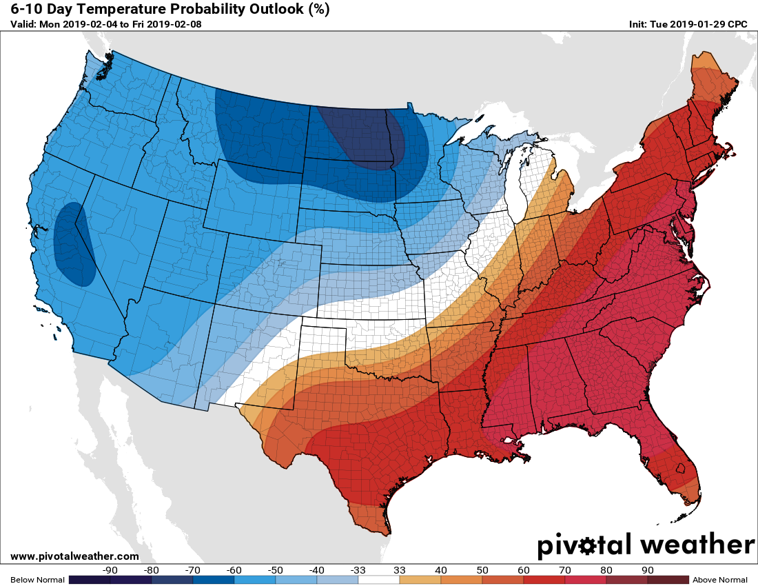
LOOKS LIKE WARMER THAN NORMAL TEMPERATURES FOR NEXT WEEK
Taking a brief step into Voodoo Land, the 6-10 Day Temperature Probability Outlook shows more than a 70% chance of above normal temperatures for the first full work week of February. The GFS is actually painting highs in the 70s on Tuesday, even though it looks like we will be dealing with rain.
ON THIS DAY IN WEATHER HISTORY
1936 – 29th-30th) Birmingham, AL, established a single storm record and 24-hour record with 11 inches of snow.
2005 – A significant ice storm struck parts of northern Georgia on the 30th-31st. Ice accretion was as great as 2 inches in Monroe County, located southeast of Atlanta. Power outages in the area at the height of the storm affected nearly 320,000 homes and businesses.
BEACH FORECAST CENTER
Get the latest weather and rip current forecasts for the beaches from Fort Morgan to Panama City on our Beach Forecast Center page. There, you can select the forecast of the region that you are interested in.
WE HAD A RECORD-BREAKING YEAR IN 2018! ADVERTISE WITH THE BLOG!
We have enjoyed over 19.9 MILLION page views on AlabamaWx.com for 2018… breaking our previous record by over 3 million page views. Don’t miss out! We can customize a creative, flexible and affordable package that will suit your organization’s needs. Contact Bill Murray at (205) 687-0782.
E-FORECAST
Get the Alabama Wx Weather Blog’s Seven-Day Forecast delivered directly to your inbox by email twice daily. It is the most detailed weather forecast available in Central Alabama. Subscribe here… It’s free!
CONNECT WITH THE BLOG ON SOCIAL MEDIA
You can find the AlabamaWx Weather Blog on the major social media networks:
Facebook
Twitter
WEATHERBRAINS
Don’t forget you can listen to our weekly 90 minute netcast anytime on the web at WeatherBrains.com or on iTunes, Stitcher, or Spotify. This is the show all about weather featuring many familiar voices, including the meteorologists at ABC 33/40.
Category: Alabama's Weather, ALL POSTS
About the Author (Author Profile)
Scott Martin is an operational meteorologist, professional graphic artist, musician, husband, and father. Not only is Scott a member of the National Weather Association, but he is also the Central Alabama Chapter of the NWA president. Scott is also the co-founder of Racecast Weather, which provides forecasts for many racing series across the USA. He also supplies forecasts for the BassMaster Elite Series events including the BassMaster Classic.Subscribe
If you enjoyed this article, subscribe to receive more just like it.


