

Potential For Strong To Severe Storms Continue For The Eastern Half Of Central Alabama
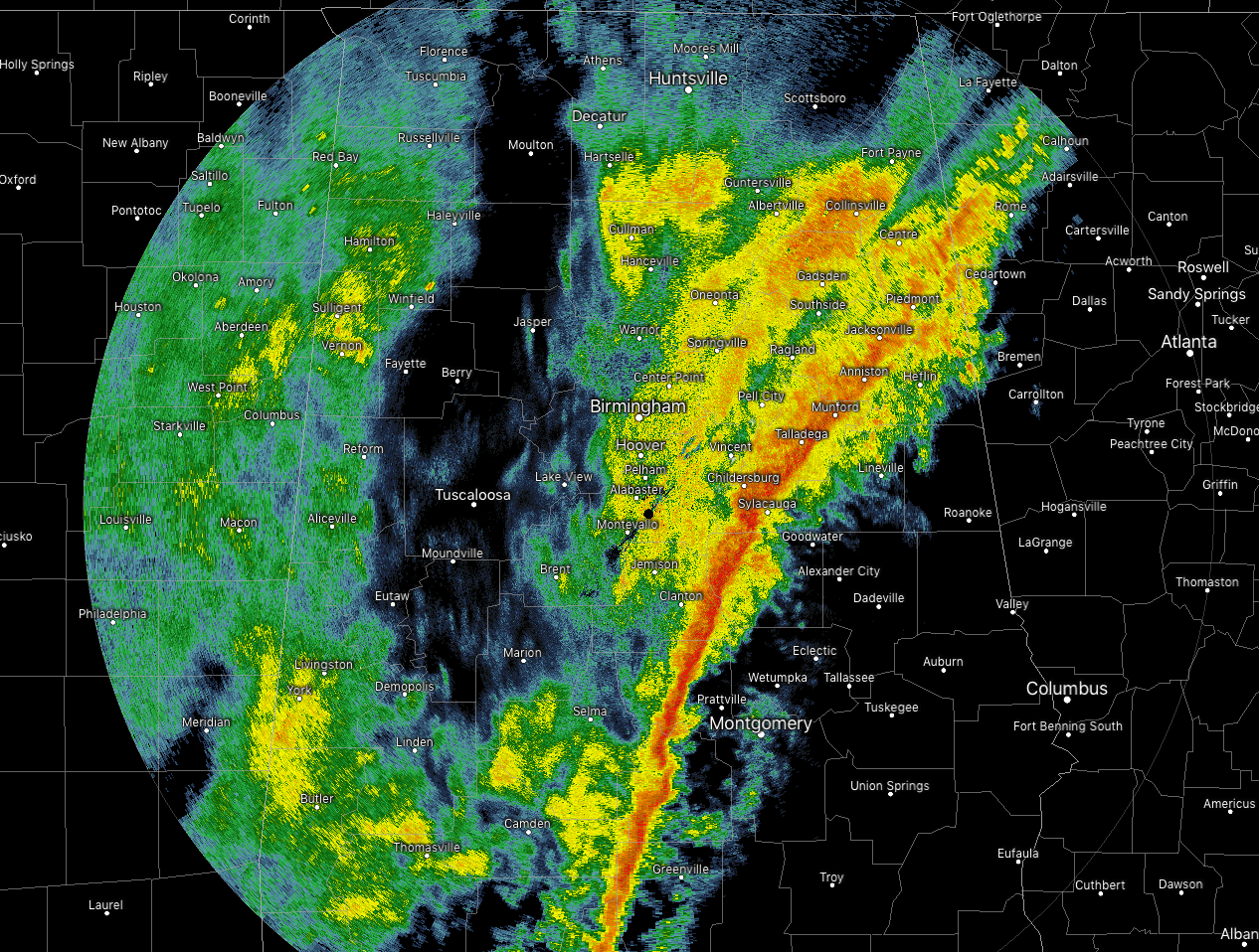
As of 10:20 am, the main line of rain and storms has now moved into the eastern half of Central Alabama, now stretching from Piedmont to Talladega to Autaugaville. The potential of stronger to severe storms will be along and east of the line until the line moves out of the area and into Georgia. The threat of severe weather for the western half of the are is now over.
At this point, there is not much lightning showing up at all along the squall line, but the stronger parts of the line are currently affecting parts of Talladega, Coosa, and Clay counties where some gusty winds could reach up to 40-50 MPH.
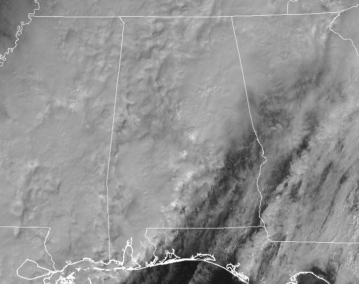
With some sunshine making it to the surface over the southeastern parts of the area, some of the daytime heating may lead to some higher instability values. We could see an uptick in the strength of the line, especially for locations east of a line from Roanoke to Tuskegee to Troy.
The good news is the line of storms should be completely out of Central Alabama before 2:00 pm. We’ll have some showers behind that with the cold front, but all of that should be light to moderate. All rain should be out of the area after 6:00 pm this evening.
We’ll keep you posted throughout the day.
Category: Alabama's Weather, ALL POSTS, Severe Weather
About the Author (Author Profile)
Scott Martin is an operational meteorologist, professional graphic artist, musician, husband, and father. Not only is Scott a member of the National Weather Association, but he is also the Central Alabama Chapter of the NWA president. Scott is also the co-founder of Racecast Weather, which provides forecasts for many racing series across the USA. He also supplies forecasts for the BassMaster Elite Series events including the BassMaster Classic.Subscribe
If you enjoyed this article, subscribe to receive more just like it.


