

Clouds Are Thick, But Front Bringing Warmth North; Rain Moving In
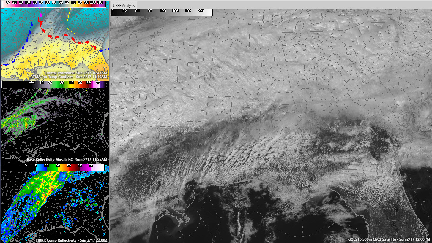
A thick layer of clouds covers the northern two-thirds of Alabama early this afternoon. They are moving across in an extremely fast fashion from southwest to northeast in a fast flow aloft.
That moist flow will be with us for a while as the pattern across the United States will remain basically the same with a trough over the west and a broad, fast southwesterly flow across the eastern half of the country.
Low pressure over the Ohio Valley is dragging a warm front to the north over Alabama. Temperatures are in the 70s south of US-80 from Demopolis to Selma to Montgomery.
Heavier rain is pushing to the northeast across Mississippi. This rainfall will affect much of the area this afternoon and gradually pivot eastward out of the area overnight ahead of the eventual cold front that the low will push our way.
Highs this afternoon will describe a wide range, from 61F in Hamilton to 69F in Tuscaloosa, Anniston, and Birmingham, to 74F in Clanton.
Monday will be dry and cooler. Rain will return late Monday night and early Tuesday with a cold, soaking rain during the day Tuesday. Highs will be limited to the 40s north of I-20.
Rain will be a part of the forecast every day Tuesday through Sunday. Rainfall amounts will be impressive when it is all over. Hopefully, it will be spread out enough to prevent widespread flooding, but with saturated ground, it won’t take much to produce flooding by Wednesday. River flooding will be a problem as well.
Severe weather is a possibility Wednesday through Sunday as well.
Stay tuned.
Category: Alabama's Weather, ALL POSTS
About the Author (Author Profile)
Bill Murray is the President of The Weather Factory. He is the site's official weather historian and a weekend forecaster. He also anchors the site's severe weather coverage. Bill Murray is the proud holder of National Weather Association Digital Seal #0001 @wxhistorianSubscribe
If you enjoyed this article, subscribe to receive more just like it.


