

9 p.m. Update: All Alabama Counties Cleared from the Watch; No Warnings in Effect
The NWS in Birmingham and the NWS Huntsville have cleared all of their counties from the tornado watch.
There are no severe weather warnings across Alabama at this hour. All flash flood warnings have expired. The flash flood and areal flood watches continue until Sunday morning.
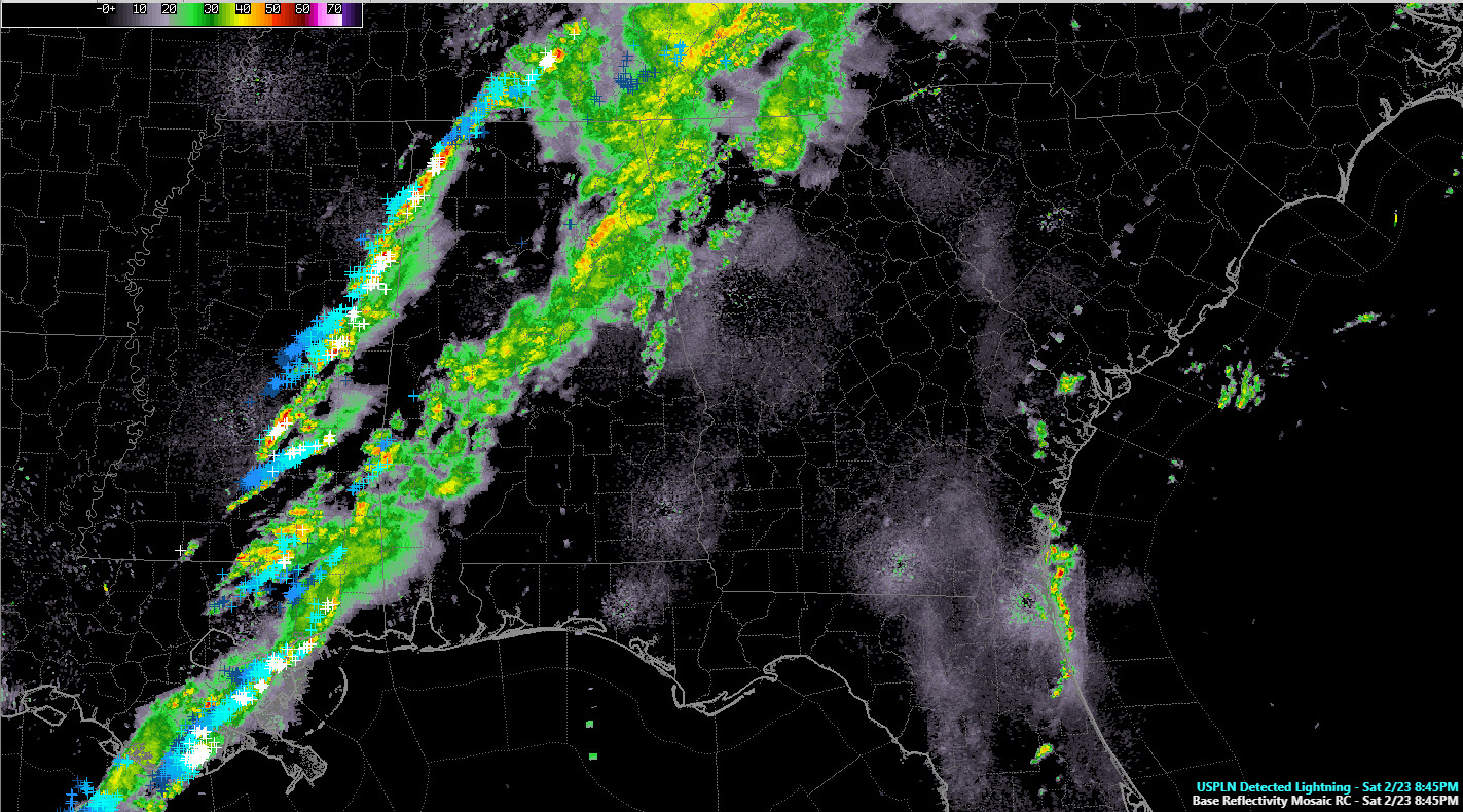
A band of rain covers areas along and south of I-59. This activity has weakened and no longer has any lightning associated with it.
To the west, the cold front has entered the northwestern corner of Alabama. Storms continue along the front, with a good bit of lightning. They entering Marion County and are about to enter Lamar, and Pickens counties within the next hour.
This line will progress across Central Alabama and should weaken as it goes. The storms should reach Tuscaloosa by 11 p.m. and Birmingham by midnight.
It is interesting to note that the HRRR appears to strengthen the line of storms. That is unlikely, but we will be watching.
There is a threat of damaging winds with the line, but that possibility looks remove as well.
Category: Alabama's Weather, ALL POSTS, Severe Weather
About the Author (Author Profile)
Bill Murray is the President of The Weather Factory. He is the site's official weather historian and a weekend forecaster. He also anchors the site's severe weather coverage. Bill Murray is the proud holder of National Weather Association Digital Seal #0001 @wxhistorianSubscribe
If you enjoyed this article, subscribe to receive more just like it.


