

Dry Through Friday; Cooler Today
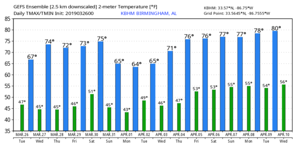
GRADUAL CLEARING: Clouds cover a decent part of Alabama early this morning, but we will forecast gradual clearing today as drier air works into the state. Clouds could linger much of the day over the eastern counties of the state, however, and a few showers are possible over Southeast Alabama. Today will be cooler with a high between 60 and 65 degrees.
Tonight will be mostly fair and rather chilly; the low will be near 40, but colder spots will drop into the 30s with a chance of scattered frost.
REST OF THE WEEK: Look for sunny mild days and fair nights tomorrow through Friday. The high tomorrow will be close to 70, followed by mid 70s Thursday and Friday.
THE ALABAMA WEEKEND: The day Saturday looks dry and mild; partly sunny with a high in the mid 70s. Then, rain returns to the state Saturday night into Sunday. Some thunder is possible, but at this point the odds of severe weather look low. Sunday will be cooler with a high between 58 and 62.
NEXT WEEK: There is great model inconsistency making for a low confidence forecast. The American global model (the GFS) suggests unsettled weather Monday and Tuesday with rain at times along with a few thunderstorm, but the European model (the ECMWF) looks totally dry for the first half of next week. We will side with the drier Euro for now, and wait for better clarity later the week. See the Weather Xtreme video for maps, graphics, and more details.
YESTERDAY’S STORMS: Hail was reported in over a dozen Alabama counties, and winds gusted to 58 mph in downtown Clanton where a roof was ripped off a building.
ON THIS DATE IN 2009: Two tornadoes touched down in Alabama; one EF-1 tornado moved through Lamar and Fayette counties, and an EF-0 touched down at Alabaster near the intersection of Kent Dairy Rd. and County Road 17 just north of Maylene, causing sporadic damage as the storm moved to the east. The end of the damage path was on the east side of Interstate 65 near exit 238. Numerous trees were snapped and uprooted and three homes were damaged along the path from trees falling on them.
SPOTTER TRAINING: Our annual storm spotter training is this Thursday, March 28 at the Pelham Civic Complex. Doors open at 5:00, training begins at 6:30. No fee, no need to register. Just show up with a curious mind! You will help us make the severe weather warning process more efficient, and you will never look at a storm the same again. Hope to see you there.
IT’S THAT TIME AGAIN FOR INDYCAR AT BARBER: The Honda Indy Grand Prix of Alabama will be April 5-7 at the beautiful Barber Motorsports Park! Make plans for the event that has been voted “Best Annual Event” & “Best Sporting Event” in Birmingham. Kids 15 & under are admitted free with a ticketed adult, and three-day general admission tickets are $69. Single day tickets are as low as $15. Pack a picnic/cooler and bring the family out for a weekend full of activities and racing! For tickets, CLICK HERE.
BEACH FORECAST: Click here to see the AlabamaWx Beach Forecast Center page.
WEATHER BRAINS: Don’t forget you can listen to our weekly 90 minute show anytime on your favorite podcast app. This is the show all about weather featuring many familiar voices, including our meteorologists here at ABC 33/40.
CONNECT: You can find me on all of the major social networks…
Facebook
Twitter
Instagram
Pinterest
Snapchat: spannwx
I will be doing a weather program this morning for a home school group in Helena, and then I am speaking to a group of high school students from Winston County. Look for the next Weather Xtreme video here by 4:00 this afternoon. Enjoy the day!
Category: Alabama's Weather, ALL POSTS, Weather Xtreme Videos
About the Author (Author Profile)
James Spann is one of the most recognized and trusted television meteorologists in the industry. He holds the AMS CCM designation and television seals from the AMS and NWA. He is a past winner of the Broadcast Meteorologist of the Year from both professional organizations.Subscribe
If you enjoyed this article, subscribe to receive more just like it.


