


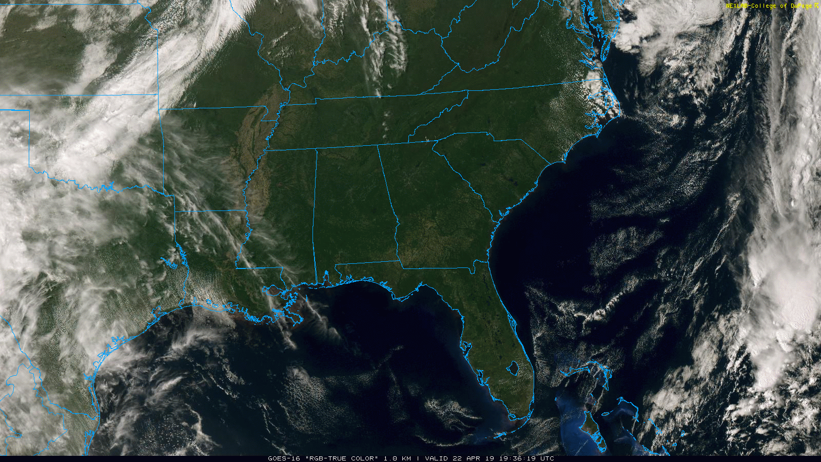
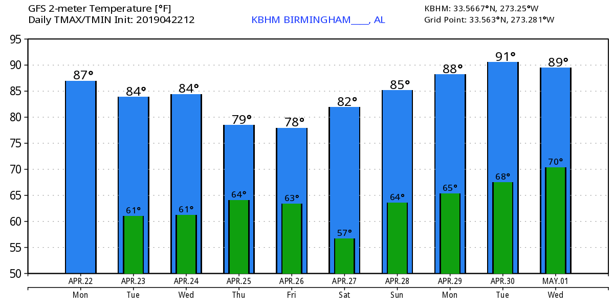
COBALT BLUE: Nothing but sunshine across Alabama this afternoon; tempearures are in the 78-82 degree range at mid-afternoon. Tonight will be clear with a low in the mid to upper 50s.
Not much change tomorrow and Wednesday… a good supply of sunshine both days with highs in the 82-86 degree range… temperatures more typical of mid-May as opposed to late April.
THURSDAY/FRIDAY: Most of the day Thursday looks dry, but clouds will increase, and showers and storms will pass through the state Thursday night. Rain amounts of 1/2 to 1 inch are expected, and for now the severe weather risk looks low (although a strong thunderstorm will be possible). New guidance is suggesting now that the rain will end early in the day Friday, with clearing beginning Friday afternoon. The high Thursday and Friday will be generally in the upper 70s.
THE ALABAMA WEEKEND: We are forecasting a mostly sunny sky Saturday and Sunday with highs in the low 80s. A weak surface front will approach from the north Sunday night, but the new model runs suggest there won’t be enough moisture with this feature for any significant rain.
RACE WEEKEND AT TALLADEGA: A few showers are possible Friday morning, but it now looks like the sky will begin to clear Friday afternoon, and the weekend will be warm and dry with ample sunshine Saturday and Sunday. The high Friday will be in the upper 70s, followed by low 80s at Talladega Saturday and Sunday.
NEXT WEEK: As an upper ridge builds, most of the week looks warm and dry. We could very well be flirting with 90 degree heat by Tuesday or Wednesday… See the Weather Xtreme video for maps, graphics, and more details.
ON THIS DATE IN 2018: One year ago today severe thunderstorms were responsible for three tornadoes in Baldwin County… an EF-0 tornado touched down at the Anchors Aweigh RV Resort in Foley where it overturned 5 RVs. 3 people who were in the RVs were injured. Another EF-0 tornado touched down at Elberta.
The same day a strong waterspout moved onshore, becoming an EF-1 tornado, at the 2200 block of West Beach Boulevard. The tornado produced roof and siding damage to two homes. Several windows were also blown out.
BEACH FORECAST: Click here to see the AlabamaWx Beach Forecast Center page.
WEATHER BRAINS: Don’t forget you can listen to our weekly 90 minute show anytime on your favorite podcast app. This is the show all about weather featuring many familiar voices, including our meteorologists here at ABC 33/40.
CONNECT: You can find me on all of the major social networks…
Facebook
Twitter
Instagram
Pinterest
Snapchat: spannwx
I enjoyed seeing the kids this morning at Ardent Preschool in Hoover… be looking for them on the Pepsi KIDCAM today at 5:00 on ABC 33/40 News! The next Weather Xtreme video will be posted here by 7:00 a.m. tomorrow…


