


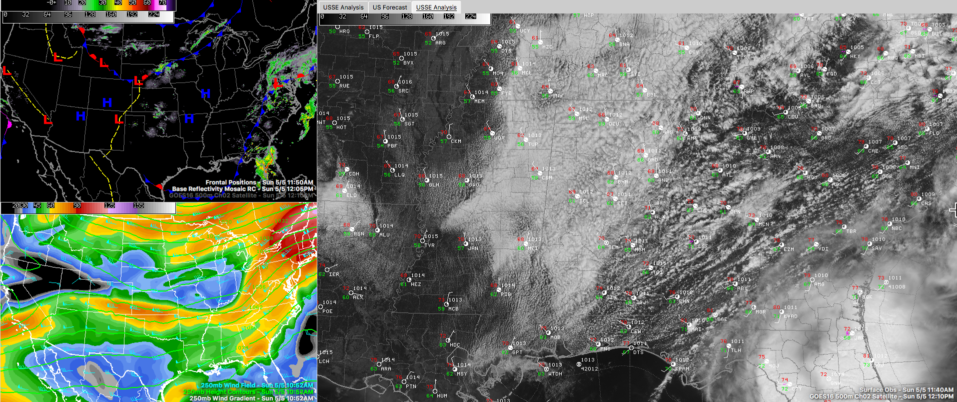
Clouds are hanging fairly tough across Alabama as we are just past the noon hour. A check of visible satellite imagery shows that the clouds are starting to morph from stratus to stratocumulus across the area as the combined destabilizing effects of colder air aloft associated with the weak trough and increasing heating of the lower levels of the atmosphere makes the clouds more cellular. This, along with drier air filtering in from the northwest behind a cold front that is now over Southeast Alabama, will permit increasing sunshine through the afternoon.
Temperatures are in the 60s over the northwestern half of the state, generally along and northwest of I-59. 70s are common south of that.
Highs today will be in the lower and middle 70s across the north, middle and upper 70s across the middle and upper 70s to near 80F across South Central Alabama.
The rain is gone and won’t return until late in the day Wednesday. It will be warm this week, high highs in the lower 80s tomorrow and upper 80s Tuesday. 80s will remain into the Mother’s Day weekend.
It will be a big week for severe weather across the Southern Plains this week, especially Tuesday and Wednesday. The activity will extend into Arkansas, Louisiana and Western Tennessee by Thursday. They will limp in here late Thursday night and early Friday, ubt the upper dynamics should have departed by then and severe weather doesn’t look like a big risk for us. Still , there could be a few surprises, as always, so stay tuned.


