

Severe Threat Is Over For Today In North/Central Alabama

As of 6:15 pm, all is really starting to calm down across North/Central Alabama. Much of the remaining rain and embedded thunderstorm activity is mainly confined to the extreme southern and eastern locations in the area. Nearly everyone north of the I-20 corridor is now dry and the air is rain-cooled and stable.
Even where the rain continues at this point, only a few rumbles of thunder remain in the large light to moderate rain shield that is moving to the east. Latest HRRR shows the activity completely dissipating by midnight and staying dry through the mid-morning hours. After the rain ends, we could see some dense fog across the area.

The above image is the HRRR valid at 10:00 am on Friday. It shows an MCV making its way through Louisiana and into Mississippi. The high-resolution NAM shows pretty much the same solution, but it weakens and moves more to the north-northeast through the extreme northwestern parts of the area while being much weaker.
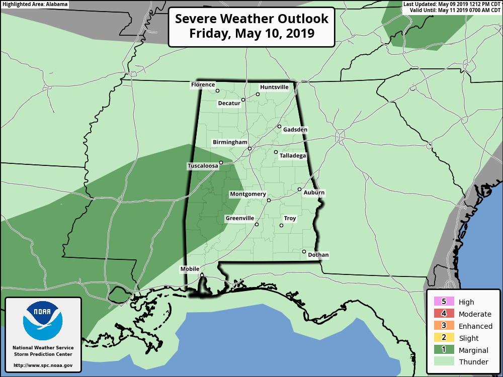
There is a very Marginal Risk of severe storms over the southwestern parts of the area and back into southern Mississippi and much of Louisiana. Isolated damaging wind gusts up to 60 MPH are possible in the risk areas, but those threats will be low. We’ll be back bright and early on Friday morning for updates unless the forecast drastically changes.
Category: Alabama's Weather, ALL POSTS, Severe Weather
About the Author (Author Profile)
Scott Martin is an operational meteorologist, professional graphic artist, musician, husband, and father. Not only is Scott a member of the National Weather Association, but he is also the Central Alabama Chapter of the NWA president. Scott is also the co-founder of Racecast Weather, which provides forecasts for many racing series across the USA. He also supplies forecasts for the BassMaster Elite Series events including the BassMaster Classic.Subscribe
If you enjoyed this article, subscribe to receive more just like it.


