

Sunday Weather Xtreme Video: Showers Gradually Thinning Out
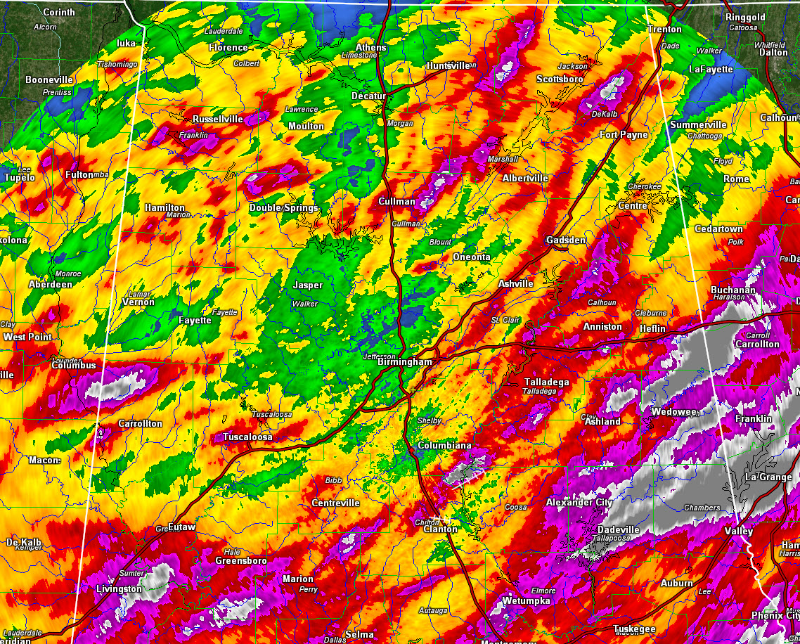
Three day storm total rainfall across Alabama
Parts of Alabama have received beneficial rains over the past three days, but as is often the case, the bounty has not been distributed evenly. Probably 75% of Central Alabama has received at least one inch of rain, and about 30% has received two inches or more with some lucky spots getting between 3 and 5 inches of the wet stuff. The driest places have been just west of I-65, from Winston down through Walker County into northern Tuscaloosa and Jefferson County. Here at my house in southern Jefferson County, I have been lucky enough to get 2.98 inches so far. But in Calera, only 1.10 inches has fallen at the Shelby County Airport. And unfortunately, that area across Shelby County has fallen into moderate drought.
SPOT CHECKING: The 2.51 inches at the Birmingham Airport over the past three days was the first rain in over 20 days. We quickly went from a surplus to a deficit during that time, but have made it back up since Thursday.
MORE RAIN IN THE FORECAST: WE still have an upper-level trough draped across the southeastern United States this morning. But the trough is falling apart even as we speak. At the surface, broad low pressure extends from western Kentucky down through western Alabama. Moisture levels continue to be fairly high across the state, and additional showers and storms are expected to form once again today. The rainfall will once again be scattered, however, and only about 50% of the area will see rain today. Highs will be in the lower and middle 80s. A lucky spot or two may see enough rain to keep highs in the 70s. Wishful thinking?
BY MONDAY: Drier air will start to filter into Alabama behind the first of a couple of fronts that will push across the area. There will be scattered showers and storms again, but they will be more concentrated south of I-59. Highs will once again be in the 80s.
TUESDAY: Looks mostly dry with highs in the lower 80s. It will still be humid, but overall moisture levels will be lower.
ANOTHER FRONT: We won’t be done with the rainfall as a sharp trough to our north begins to sweep eastward. It will propel another front our way, with much drier air to follow for the end of the week into the weekend. Showers and thunderstorms will occur Wednesday afternoon. Look for things to dry out once again starting on Thursday, with dry conditions for Thursday afternoon, Friday and Saturday. Look for lows in the upper 50s by Friday morning, with a smattering of 50s Thursday and Saturday morning as well. Less humid conditions will be around on Friday, but humidity levels will begin to rise again on Saturday afternoon ahead of our next weather maker, which will bring rain by the following Tuesday.
VOODOO TERRITORY: If that isn’t voodoo enough for you, then let’s jet out to the 16th through the 24th, when a persistent boundary appears to be setting up to our north, with a northwesterly flow flinging waves of rain and storms our way. The GFS predicts that we could see another 3-5 inches of rain in the long run. No complaints here. Oh, and it depicts something tropical in the northwestern Caribbean, southern Gulf of Mexico. That could be interesting.
GULF COAST WEATHER: For now, the beautiful beaches of Alabama and Northwest Florida aren’t worried about anything tropical in nature, except for the tropical rain showers that will impact them through Monday. Shower chances will remain in the forecast through Wednesday before improving conditions are expected for Thursday into the weekend. Highs will be in the 80s and low in the 70s. There is a high risk of rip currents through this evening, with a moderate risk heading into next week. Water temperatures are running around 81F. Click here to see the Beach Forecast Center page.
WEATHERBRAINS: This week, the panel will entertain the National Weather Service representative to the World Meteorological Organization. Shanna Pitter Combley will hit in the WeatherBrains Hot Seat Monday night at 8:30 p.m. CDT. Check out the show at www.WeatherBrains.com. You can also subscribe on iTunes. You can watch the show live at live.bigbrainsmedia.com You will be able to see the show on the James Spann 24×7 weather channel on cable or directly over the air on the dot 2 feed.
ON THIS DATE IN 1972: 10 to 15 inches of rain fell over an area of just 60 square miles of the Black Hills in and around Rapid City, South Dakota, causing the Canyon Lake dam to give way at 10:45 p.m., sending a flood of rushing water down already swollen Rapid Creek. Even though heroic evacuation orders from the city’s mayor came at 10:40 p.m., many in the town had just precious minutes to flee to safety as the crest of the flood struck around 11 p.m. Much of the town lay in the flood plain and the devastation was incredible. Fires were ignited from severed gas mains. 238 people were killed and 2932 injured in the flood and thousands of families were left homeless. Damage totaled $165 million. Now Canyon Lake is dammed once again and the flood plain is a series of parks, golf courses and bike paths, which should minimize damage from future floods. Follow my weather history tweets on Twitter. I am @wxhistorian at Twitter.com.
Category: Alabama's Weather, ALL POSTS
About the Author (Author Profile)
Bill Murray is the President of The Weather Factory. He is the site's official weather historian and a weekend forecaster. He also anchors the site's severe weather coverage. Bill Murray is the proud holder of National Weather Association Digital Seal #0001 @wxhistorianSubscribe
If you enjoyed this article, subscribe to receive more just like it.


