

The Heat Continues with Fewer Showers and Storms Through Tuesday
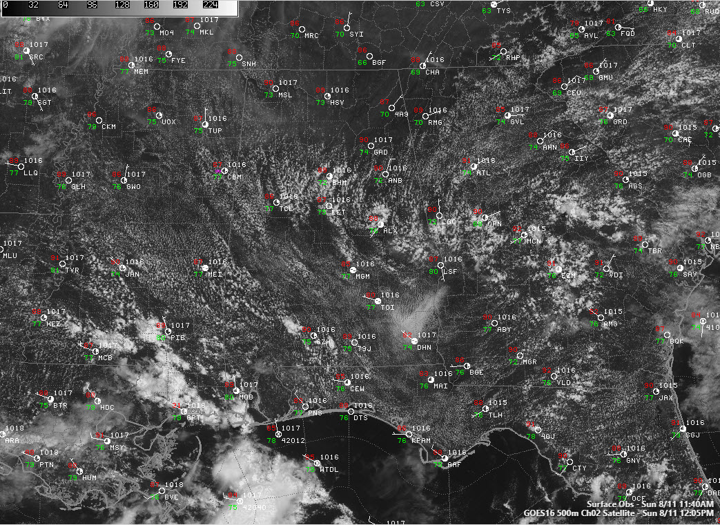
Drier air has settled into the northern third of Alabama on this August Sunday afternoon. Precipitable water values have dropped north of US-278 between Hamilton, Cullman, and Gadsden. You can see it in the visible satellite imagery, with fewer cumulus clouds in the drier air.
Dewpoints are still high, however, and with temperatures approaching or into the 90s in most spots, heat index values are running 95F-98F.
A heat advisory remains in effect for much of South Central and South Alabama until 9 p.m. Heat index values in the advisory area will meet or exceed 105F for a time this afternoon in many spots, generally south of a line from Pickens and Ts=uscaloosa Counties through Bill Chilton, Elmore, Macon, and Russell Counties and points further south.
Showers and storms will be much more scarce this afternoon that during the past two afternoons, and they will be limited to areas south of I-20.
Lows tonight will be in the lower and middle 70s.
You’ll have a chance to catch a few Perseids meteors tonight, with the best chance coming after moonset around 2:30 a.m.
Tomorrow will feature temperatures that are a tad hotter than today. The surge of drier air will keep shower and storm chances very low, but the slightly lower dewpoint may help the heat index values stay below the excessive heat warning category. Expect heat advisories to remain in effect, however.
Rinse and repeat for Tuesday before rain chances ramp back up a bit on Wednesday.
Category: Alabama's Weather, ALL POSTS
About the Author (Author Profile)
Bill Murray is the President of The Weather Factory. He is the site's official weather historian and a weekend forecaster. He also anchors the site's severe weather coverage. Bill Murray is the proud holder of National Weather Association Digital Seal #0001 @wxhistorianSubscribe
If you enjoyed this article, subscribe to receive more just like it.


