

Still Dry Today; Rain Returns Tomorrow
ANOTHER COLD START: Some of the colder temperatures just before daybreak this morning include
Black Creek 33
Gadsden 36
Weaver 37
Heflin 37
Pell City 37
Decatur 38
Talladega 39
Bessemer 39
Anniston 42
Northport 43
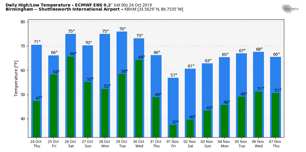
Today will be another beautiful fall day with ample sunshine along with a high in the mid 70s. Clouds return tonight.
TOMORROW THROUGH THE WEEKEND: A warm front will move slowly northward through Alabama tomorrow, bringing widespread rain. A decent part of the afternoon could be dry over South Alabama as the front moves north (most all of the rain will be along and north of the front), but we will keep rain in the forecast over the northern half of the state into tomorrow night. Temperatures will hold in the 60s over North/Central Alabama tomorrow with clouds and rain; the air will be stable so we aren’t expecting much in the way of lightning.
On Saturday the warm front should be over the Tennessee Valley, and a moist, unstable airmass will be in place. It is important to note it won’t rain all day, and I would certainly not call it a “wash out”. But, occasional showers and thunderstorms are likely with afternoon highs in the 70s. A cold front will move into West Alabama late in the day, with potential for an organized band of thunderstorms Saturday evening.
For now, instability values look marginal, and lapse rates weak, so severe storms are not forecast, but there could certainly be a strong storm or two along the front Saturday night. Then, on Sunday, drier air moves into the northern half of the state, with showers mainly confined to South Alabama.
Rain amounts of 2-4 inches are likely over North and West Alabama tomorrow through early Sunday morning, with 1-2 inches over East and South Alabama. For now we are not expecting any major flooding issues.
NEXT WEEK: The weather will be mostly dry, although a few showers are possible over the southern counties early in the week. The big story is the coldest air so far this season moving in here by Wednesday; some parts of North/Central Alabama could see their first freeze of the season by Thursday or Friday morning. See the Weather Xtreme video for maps, graphics, and more details.
TROPICS: A disturbance over the Bay of Campeche has only a 20 percent of developing; it should merge with a surface front over the weekend. The rest of the Atlantic basin is quiet.
FOOTBALL WEATHER: For the high school games tomorrow night, the sky will be cloudy with rain likely over the northern third of Alabama; temperatures will be in the 60s.
For Saturday’s Magic City Classic at Legion Field in Birmingham (Alabama State vs Alabama A&M, 2:30p CT kickoff), the sky will be cloudy, and occasional showers are likely. A thunderstorm can’t be ruled out. Kickoff temperature near 73 degrees, falling to near 70 by the final whistle.
Auburn travels to Baton Rouge Saturday to take on LSU (2:30p CT kickoff)… the sky will be mostly cloudy, and a few passing showers are possible during the game. Temperatures will fall from the upper 60s at kickoff into the mid 60s by the fourth quarter.
It is homecoming at the University of Alabama Saturday; the Tide will host Arkansas at Bryant-Denny Stadium (6:00p CT kickoff). It looks like rain will fall at times during the game, with thunderstorms possible as well. Temperatures will fall from near 72 at kickoff, into the upper 60s by the second half.
Jacksonville State will host Murray State Saturday (3:00p CT kickoff)… cloudy conditions are expected with some rain possible; temperatures will be in the low 70s during the game.
ON THIS DATE IN 1878: The Gale of 1878 was an intense Category 2 hurricane that was active between October 18 and October 25. It caused extensive damage from Cuba to New England. Believed to be the strongest storm to hit the Washington – Baltimore region since hurricane records began in 1851.
BEACH FORECAST: Click here to see the AlabamaWx Beach Forecast Center page.
WEATHER BRAINS: Don’t forget you can listen to our weekly 90 minute show anytime on your favorite podcast app. This is the show all about weather featuring many familiar voices, including our meteorologists here at ABC 33/40.
CONNECT: You can find me on all of the major social networks…
Facebook
Twitter
Instagram
Pinterest
Snapchat: spannwx
I have a weather program this morning in Clay County… then this evening I will be live on ABC 33/40 at the Hoover Hayride at Veterans Park. No afternoon Weather Xtreme video, but I will post updates forecast notes this afternoon. Enjoy the day!
Category: Alabama's Weather, ALL POSTS, Weather Xtreme Videos
About the Author (Author Profile)
James Spann is one of the most recognized and trusted television meteorologists in the industry. He holds the AMS CCM designation and television seals from the AMS and NWA. He is a past winner of the Broadcast Meteorologist of the Year from both professional organizations.Subscribe
If you enjoyed this article, subscribe to receive more just like it.


