

A Frosty Morn, But Fairly Pleasant Afternoon; Not a Bad Week Ahead
Good morning! If you haven’t remembered to set your clocks back, you’re an hour early! Daylight Saving Time ended this morning at 2 a.m. local standard time. I hope you enjoyed your extra hour of sleep. If you didn’t fall back, you have my permission to go back to bed!
ACTIVE JET STREAM: Boy, things sure look a lot different than a month ago! The upper-level winds are howling across North America this morning. Across the northern half of Alabama, they are racing along at over 100 knots or over 115 mph. There is a split flow pattern across the U.S. That simply means that the jet stream is split in two over the Pacific, with the northern branch arching up into Alaska before diving back into a big trough that covers much of the nation. Meanwhile, the southern branch is traversing the southern tier of states, including Alabama, before rejoining its sibling off the East Coast. That northward bulge in the jet stream is bringing plenty of cool air southward. Average temperatures across the eastern half of the country are running several degrees below normal, including here in Alabama as a result. The active stream will throw a couple of additional fronts at Alabama in the week ahead, but they will serve only to reinforce the existing cool air regime, as there just won’t be much in the way of moisture for them to work with. Let’s go day by day.
TODAY: Not bad. A little patchy fog is shrouding the landscape in spots. Many areas have experienced frost, especially across North and North Central Alabama. Yesterday’s highs were in the lower and middle 60s over the Central part of the state and in the upper 50s over the North. Today’s highs will look familiar. Skies will be mostly clear with a dearth of moisture across the state. The only exception will be occasional patches of high clouds racing along in that fast river of air aloft. Lows tonight will be in the lower and middle 30s North and mid and upper 30s Central.
MONDAY: By Monday, a surface ridge of high pressure that is centered over southern Tennessee will shift east into the Carolinas. Our winds will shift around to the southeast in response, and some mid and high level clouds will spread across the state as a slug of moisture moves across in the southern branch of the jet stream. The day will start off cool with lows in the 30s. Highs on Monday will be in the 60s areawide. The NAM thinks a few sprinkles might get shaken out of those clouds, but weather humans are skeptical. Don’t be surprised if they show up on a windshield near you.
TUESDAY: Tuesday will feature decreasing clouds as a weak front moves through and the trough lifts out leaving a bit of a ridge over the southeastern United States. The morning will start off in the lower 40s. We will experience highs in the upper 60s to near 70F.
WEDNESDAY: Even better. Plenty of sunshine after morning lows in the middle 40s. Highs will be near 70F.
THURSDAY: Another front will approach on Thursday. It will conveniently bring its own moisture with it. This will lead to scattered showers. The best rain chances will be Thursday afternoon and evening. Highs on Thursday will be in the middle 60s with additional clouds in place.
FRIDAY INTO THE WEEKEND: A few showers will linger into Friday morning, but high pressure will take over for the weekend. Highs will be in the 50s and lows will be in the 30s.
VOODOO TERRITORY: Another front will bring more showers to Alabama by Monday evening the 11th.
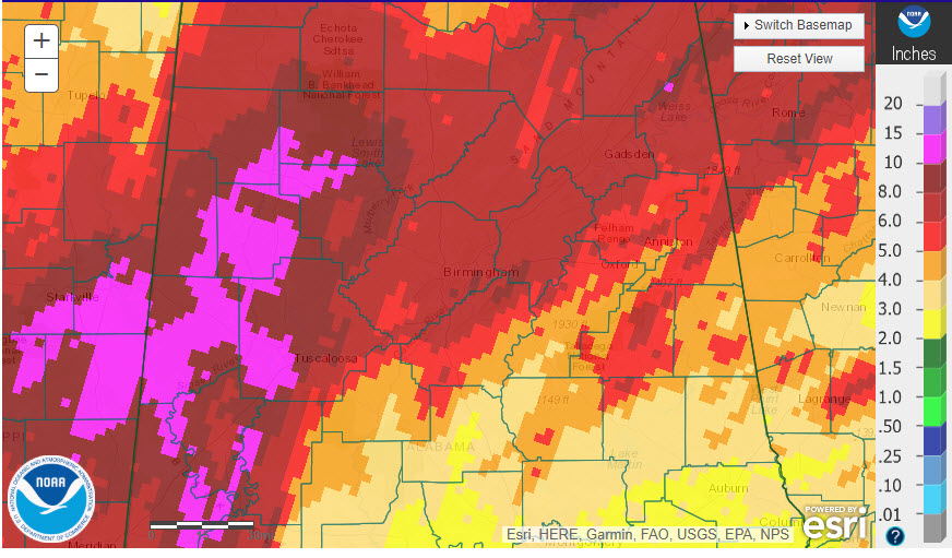
DROUGHTWATCH: The Drought Monitor has officially lifted the Drought Watch for areas west of I-65 thanks to the 6-15 inches of rain that fell over that areas over the past two weeks. Amounts north of I-20 have been decent over the same period, around 5-8 inches. Parts of Northeast Alabama are in drought conditions, and areas east of I-65 and south of I-20 are also in drought, including continued extreme drought over parts of Chilton, Coosa, and Tallapoosa Counties.
TROPICS: The Atlantic is quiet. The GFS doesn’t foresee any tropical development over the next two weeks.
GULF COAST WEATHER: A cool start to the week along the beautiful beaches of Alabama and Northwest Florida. Highs will be in the 60s through Monday, with 70s Tuesday, Wednesday and Thursday. It will be a little cooler after that, with highs in the 60s into the weekend. Water temperatures are running around 71F. Click here to see the Beach Forecast Center page.
WEATHERBRAINS: This week, the panel will entertain Craig Setzer from Miami. Check out the show at www.WeatherBrains.com. You can also subscribe on iTunes. You can watch the show live at live.bigbrainsmedia.com You will be able to see the show on the James Spann 24×7 weather channel on cable or directly over the air on the dot 2 feed.
ON THIS DATE IN 1927: As much as 15 inches of rain fell during a two day period over western New England resulting in devastating flooding in Winooski Valley. 8-10 feet of water was standing in downtown Montpelier VT. The “Great Vermont Flood” resulted in 200 deaths in New England, including 84 in Vermont. In addition, 8.77 inches of rain fell at Somerset, VT to establish a 24-hour record for the state. Follow my weather history tweets on Twitter. I am @wxhistorian at Twitter.com.
Category: Alabama's Weather, ALL POSTS
About the Author (Author Profile)
Bill Murray is the President of The Weather Factory. He is the site's official weather historian and a weekend forecaster. He also anchors the site's severe weather coverage. Bill Murray is the proud holder of National Weather Association Digital Seal #0001 @wxhistorianSubscribe
If you enjoyed this article, subscribe to receive more just like it.


