

Looking Good for Today, Even Better for Tomorrow, but Blast of Cold Air on the Way
ON THE WEATHER MAPS: A broad trough of low pressure covers the eastern United States, giving us cool and dry conditions. But jet stream energy is diving southward over western Canada, and it will dig into the northern Plains by late tonight, and propel a cold 1048 mb high into the nation’s midsection tomorrow, ad into Alabama for midweek. That full latitude trough will extend from Chicago to Memphis by Tuesday morning and it will feel like someone left the freezer door open by then.
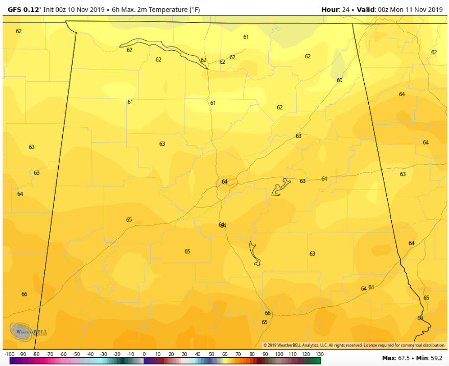
Highs today from the GFS
FOR YOUR SUNDAY: Not bad. Mostly sunny with highs in the middle 60s across Central Alabama, with a few upper 60s to the south and lower 60s to the north. Lows tonight will predominantly be in the lower 40s.
VETERAN’S DAY: A nice day for a parade. It will be increasingly cloudy, but mild, with highs in the upper 60s. A few showers will appear by Monday afternoon over northwestern sections, but it will take until late afternoon for them to reach the I-59 Corridor. Rain will become likely Monday night, pushing southeastward through the overnight hours. Winds will shift to northwesterly behind a strong cold front during the late-night hours.
TUESDAY WILL BE A BLUSTERY, MISERABLE, NO-GOOD KIND OF DAY: We start off near freezing with a strong northwesterly wind. Temperatures will struggle to get out of the 30s despite a clearing sky. And the mercury will drop like a rock Tuesday evening, reaching the teens over North Alabama by Wednesday morning. Lows will be in the lower 20s across Central Alabama, with a freeze all the way to the coast. A hard freeze is expected for areas along and north of I-20, and watches and warnings could be required as we get closer to the event.
WEDNESDAY: It will be sunny and cold with highs in the middle and upper 40s. The wind will subside though. Lows Wednesday night will be in the mid and upper 20s.
THURSDAY THROUGH THE WEEKEND: SLow warming conditions into the weekend. It should be dry until at least Sunday night. Expect low 50s Thursday, mid-50s Friday, near 60F on Saturday and low to mid 60s 0n Sunday.
BEACHES: Nice today and tomorrow with exception of rip current risk. Rain Monday night into Tuesday. Freeze at midweek, with colder conditions slowly moderating after that. Water temperatures running in the middle 60s.
VOODOO COUNTRY: Looks mild to warm, and dry, for the beginning of the Thanksgiving week.
WEATHERBRAINS: Great show coming up Monday night talking about fires threat out west and one man’s work to mitigate it. Don’t miss it.
ON THIS DATE IN WEATHER HISTORY: In 2002, severe thunderstorms developed ahead of a strong cold front and produced a widespread outbreak of severe weather including many tornadoes from Ohio to Alabama. The strongest tornadoes were rated EF-3 and hit Carbon Hill and Saragossa in Walker County. Eleven people died in Alabama.
Category: Alabama's Weather, ALL POSTS
About the Author (Author Profile)
Bill Murray is the President of The Weather Factory. He is the site's official weather historian and a weekend forecaster. He also anchors the site's severe weather coverage. Bill Murray is the proud holder of National Weather Association Digital Seal #0001 @wxhistorianSubscribe
If you enjoyed this article, subscribe to receive more just like it.


