

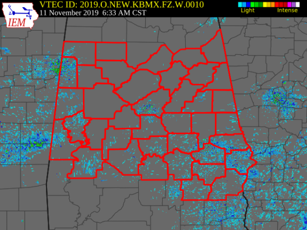
Freeze Warnings Up For Central Alabama For Tuesday Night Through Wednesday Morning
NWS Birmingham has issued FREEZE WARNINGS across Central Alabama as a cold front will be bringing below-freezing temperatures and gusty winds to the area on Tuesday and persisting until Wednesday morning.
The first Freeze Warning will start at 3:00 am Tuesday for Bibb, Blount, Calhoun, Cherokee, Clay, Cleburne, Etowah, Fayette, Greene, Hale, Jefferson, Lamar, Marion, Pickens, Shelby, St. Clair, Sumter, Talladega, Tuscaloosa, Walker, Winston and will expire Wednesday at 10:00 am.
The next Freeze Warning will start at 3:00 pm Tuesday for Autauga, Chambers, Chilton, Coosa, Dallas, Elmore, Lee, Marengo, Perry, Randolph, Tallapoosa and will expire Wednesday at 10:00 am.
The next Freeze Warning will start at 8:00 pm Tuesday for Barbour, Bullock, Lowndes, Macon, Montgomery, Pike, Russell and will expire Wednesday at 10:00 am.
FREEZE WARNING IN EFFECT FROM 3 AM TUESDAY TO 10 AM CST WEDNESDAY
* WHAT…Sub-freezing temperatures as low as 26 expected on Tuesday morning. Sub-freezing temperatures as low as 17 expected on Wednesday morning.
* IMPACTS…Frost and freeze conditions will kill crops, other sensitive vegetation and possibly damage unprotected outdoor plumbing.
* ADDITIONAL DETAILS…Temperatures will continue to fall during the morning hours on Tuesday and may only briefly go above freezing during the late afternoon hours. Portions Marion, Winston and Blount counties may not go above freezing on Tuesday at all, so the warning is in effect for the entire period. Temperatures will likely drop below freezing for the entire area after 6 PM Tuesday.
PRECAUTIONARY/PREPAREDNESS ACTIONS
Take steps now to protect tender plants from the cold. To prevent freezing and possible bursting of outdoor water pipes they should be wrapped, drained, or allowed to drip slowly. Those that have in-ground sprinkler systems should drain them and cover above-ground pipes to protect them from freezing.
Category: Alabama's Weather, ALL POSTS, Winter Weather
About the Author (Author Profile)
Scott Martin is an operational meteorologist, professional graphic artist, musician, husband, and father. Not only is Scott a member of the National Weather Association, but he is also the Central Alabama Chapter of the NWA president. Scott is also the co-founder of Racecast Weather, which provides forecasts for many racing series across the USA. He also supplies forecasts for the BassMaster Elite Series events including the BassMaster Classic.Subscribe
If you enjoyed this article, subscribe to receive more just like it.


