

Clouds Linger; Some Rain For East Alabama
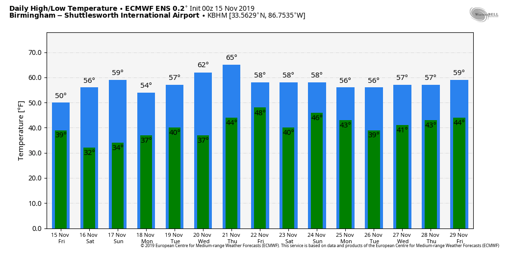
RADAR CHECK: Rain continues this morning over parts of East Alabama, and clouds linger over the rest of the state. A deep upper low will pass overhead today, and the sky will be generally cloudy, and we will maintain the chance of light rain over the eastern third of the state. Some clearing could begin over West Alabama this afternoon, however, as the upper low moves eastward. Temperatures will hold in the 40s today over the eastern half of the state; low 50s are possible for the western counties.
The sky becomes fair tonight statewide, and we drop into the 28-34 degree range early tomorrow morning.
THE ALABAMA WEEKEND: Look for sunshine in full supply both days; the high tomorrow will be in the mid to upper 50s, followed by low 60s Sunday.
NEXT WEEK: The weather will be dry Monday through Thursday with seasonal temperatures; highs mostly in the 60s, lows in the 40s. Clouds increase late in the week on Friday ahead of the next wave, with some potential for scattered light rain. Rain seems more likely the following day, Saturday November 23. See the Weather Xtreme video for maps, graphics, and more details.
FOOTBALL WEATHER: For the high school playoff games tonight, the weather will be clear and cold with temperatures in the 40s.
Tomorrow, Auburn hosts Georgia (2:30p CT kickoff)… the sky will be sunny with a kickoff temperature near 56 degrees… falling to near 50 by the final whistle.
Alabama travels to Starkville to take on the Mississippi State Bulldogs (11:00a CT kickoff); sunny weather is expected with temperatures rising from near 54 at kickoff, into the upper 50s by the fourth quarter.
UAB hosts UTEP at Legion Field tomorrow afternoon (12:00p CT kickoff)… a sunny sky is forecast with temperatures rising from 53 at kickoff, to near 56 by the end of the game.
ON THIS DATE IN 1989: A squall line entered Northwest Alabama around 3:00 that Wednesday afternoon, and at that point it looked like the primary issue during the afternoon and evening hours was going to be straight line winds along the line. Around 4:20, however, an isolated cell merged with the squall line over the southwest part of Huntsville, near Redstone Arsenal, and within minutes an F4 tornado dropped from the sky, moving through the southern part of Huntsville. It would destroy or damage 80 businesses, 3 churches, a dozen apartment buildings, and more than 1,000 cars. It moved on, climbing over Garth Mountain, demolishing Jones Valley Elementary School, and destroying 259 homes in the Jones Valley area. All told, the tornado killed 21 people and injured 463. And, unfortunately, there was no tornado warning until several minutes after the twister touched down… this was before Doppler Radar was in operational use in Alabama.
BEACH FORECAST: Click here to see the AlabamaWx Beach Forecast Center page.
WEATHER BRAINS: Don’t forget you can listen to our weekly 90 minute show anytime on your favorite podcast app. This is the show all about weather featuring many familiar voices, including our meteorologists here at ABC 33/40.
CONNECT: You can find me on all of the major social networks…
Facebook
Twitter
Instagram
Pinterest
Snapchat: spannwx
I have a weather program this morning at Parrish Middle School… look for the next Weather Xtreme video here by 4:00 this afternoon. Enjoy the day!
Category: Alabama's Weather, ALL POSTS, Weather Xtreme Videos
About the Author (Author Profile)
James Spann is one of the most recognized and trusted television meteorologists in the industry. He holds the AMS CCM designation and television seals from the AMS and NWA. He is a past winner of the Broadcast Meteorologist of the Year from both professional organizations.Subscribe
If you enjoyed this article, subscribe to receive more just like it.


