

Mild Today and Monday, Colder for Midweek Behind a Strong Front
Some wet weather is on its way for Alabama. While rainfall amounts won’t be large, it will be an extended period of damp weather, lasting into early Wednesday. Let’s break down the forecast, starting with…
YOUR SUNDAY: Clouds filled back in on Saturday afternoon across Alabama, although there was some clearing during the evening. But the clouds are back on the increase again this morning across the state as moisture starts to build on the back of a return southeastern flow around high pressure along the East Coast. Temperatures across the area are in the 40s north of I-20 this morning and in the lower 50s across southern parts of the area. There will be breaks in the clouds at times, especially this afternoon, and particularly for areas southeast of I-59. High temperatures will warm into the upper 50s over North Alabama, to the lower 60s in the I-20 Corridor, with middle 60s over South Central Alabama. A few showers could break out in the increasing warm air advection pattern by late morning, into the early afternoon. Rainfall amounts won’t be significant. Overnight lows will be in the 50s. It could get a little breezy this evening.
DAMPNESS CONTINUES INTO MONDAY: Chances for light showers will continue through much of Monday morning. There could be a bit of a break on Monday afternoon and evening but don’t count on it. Highs on Monday will warm well into the middle and upper 60s, with a few readings approaching 70F over South Central Alabama. Winds will increase again on Monday afternoon, gusting at times to over 20 mph.
STRONG COLD FRONT AHEAD: A powerful cold front will knife into the state on Tuesday, The front will enter the state around midnight, and reach the I-59 Corridor by noon. Temperatures will fall into the 50s within a couple of hours after the frontal passage and into the 40s within a few hours. 30s will arrive pretty quickly on Tuesday evening. There could be enough leftover moisture to produce a chance of some wintry precipitation late Tuesday night and early Wednesday morning, but it does not look like there is any chance of accumulation. Lows by Wednesday morning will be in the lower and middle 30s.
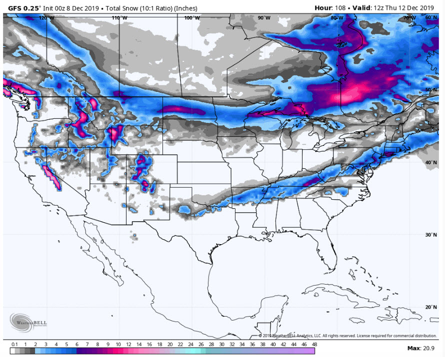
Snowfall totals through Thursday morning
WEDNESDAY A RAW DAY: Highs on Wednesday will not get out of the 40s across the area with a biting northwesterly wind. Lows Wednesday night will reach the freezing mark across the northern half of the area.
THURSDAY NOT MUCH BETTER: Highs on Thursday will struggle to get into the lower 50s. Rain will return across the area Thursday evening and could continue through much of Friday as another upper-level disturbance approaches the area.
WEEKEND OUTLOOK: Saturday looks mostly cloudy and seasonal, with highs in the middle 50s. Skies should clear by Sunday, but it will still be seasonably cool. Morning lows will start off in the middle and upper 30ss. Highs will be right around normal for this time of year, around 57F.
GULF COAST WEATHER: A decent week along the beautiful beaches of Alabama and Northwest Florida, weather-wise. Highs will be in the 70s Sunday, Monday, and Tuesday. It will be cooler behind the cold front with 50s for the end of the week into the weekend. There will be rain chances virtually every day. Click here to see the Beach Forecast Center page.
WEATHERBRAINS: This week, the panel will entertain the producer and a couple of the stars from the outstanding new documentary about Dauphin Island and the impact of sea-level rise. The film debuted at the Fairhope Film Festival last month and is a great story about the people of the island and how they have survived hurricanes and development. Check out the show at www.WeatherBrains.com. You can also subscribe on iTunes. You can watch the show live at live.bigbrainsmedia.com You will be able to see the show on the James Spann 24×7 weather channel on cable or directly over the air on the dot 2 feed.
ON THIS DATE IN 1876: The term “blizzard” was coined in an article in the U.S. Weather Bureau’s Monthly Weather Review. Follow my weather history tweets on Twitter. I am @wxhistorian at Twitter.com.
Category: Alabama's Weather, ALL POSTS
About the Author (Author Profile)
Bill Murray is the President of The Weather Factory. He is the site's official weather historian and a weekend forecaster. He also anchors the site's severe weather coverage. Bill Murray is the proud holder of National Weather Association Digital Seal #0001 @wxhistorianSubscribe
If you enjoyed this article, subscribe to receive more just like it.


