

Slick Spots Remain Possible On Area Roadways This Morning In North Alabama
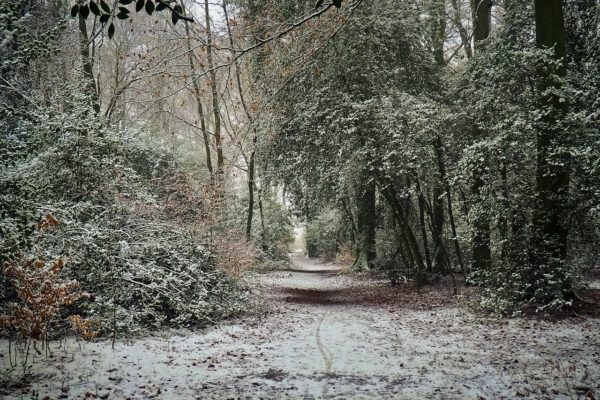
After temperatures dropped into the upper 20s and lower 30s across the Tennessee Valley this morning, the threat for black ice remains for a little while longer especially on bridges and overpasses, as well as in the elevated terrain of northeast Alabama. These slick spots may result in hazardous driving conditions until temperatures warm above freezing between 9:00 am and 10:00 am. Use caution when traveling this morning.
As of 8:00 am, temperatures were in the lower 30s to the lower 40s across Central Alabama. Bessemer and Gadsden were tied as the cold spots at 30 degrees. Troy was the warm spot at 41 degrees. Birmingham was at 31 degrees.
LIST OF SNOW TOTALS FROM NWS HUNTSVILLE & NWS BIRMINGHAM
Lauderdale County
Lexington … 0.3 inches
Limestone County
Athens … 0.2 inches
Madison County
3 miles NW of Triana … 0.3 inches
4 miles NNW of Redstone Arsenal … 1.0 inches
4 NNW of Huntsville … 0.8 inches
2 NW of Huntsville … 1.2 inches
Winston County
Haleyville … 0.5 inches
1 mile SW of Haleyville … 1.0 inches
Category: ALL POSTS
About the Author (Author Profile)
Scott Martin is an operational meteorologist, professional graphic artist, musician, husband, and father. Not only is Scott a member of the National Weather Association, but he is also the Central Alabama Chapter of the NWA president. Scott is also the co-founder of Racecast Weather, which provides forecasts for many racing series across the USA. He also supplies forecasts for the BassMaster Elite Series events including the BassMaster Classic.Subscribe
If you enjoyed this article, subscribe to receive more just like it.


