

Cloudy, Chilly, Rainy Weekend
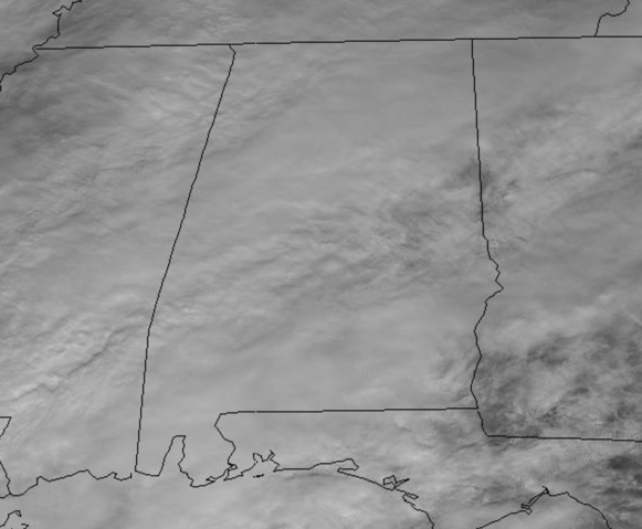
An area of low pressure in the northern Gulf of Mexico is pumping moisture north across the Southeast this weekend. We remain cloudy this weekend and the radar is starting to fill in with rain.
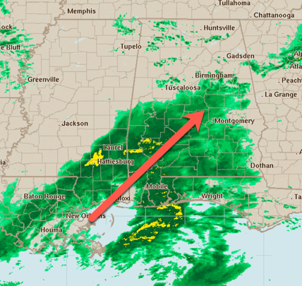
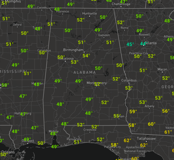
For the rest of today, tonight, and through the day tomorrow, we will see periods of light to moderate to some heavy rain at times across North/Central Alabama as we are all in for a soaking. With temperatures generally in the 40s and 50s, and not changing much, the air is stable and there is no threat of severe weather, but a few rumbles of thunder are certainly possible.
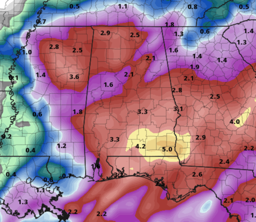
Rainfall amounts of 1-2 inches are expected across North/Central Alabama with some isolated higher amounts possible…Down across southern portions of the state, rainfall totals of 3-5 inches are possible.
HELLO WINTER: Today is the last official day of fall as the winter solstice occurs tonight at 10:19 PM CST, which is when the sun appears directly over the Tropic of Capricorn, a line of latitude 23.5 degrees south of Earth’s equator. This is the farthest south the sun goes, tomorrow it will start its journey back north, until it reaches the Tropic of Cancer, 23.5 degrees north in June. The amount of daylight will increase each day beginning tomorrow until the summer solstice in June. So tomorrow is the first official full day of winter.
THE WEEK AHEAD: The secondary low will be swinging through the state on Monday, which will keep clouds and some rain in Alabama as we start the new week, but as the low exits the state, the sky will clear Monday with a high in the upper 50s. For the rest of the week and those ever important days of Christmas Eve and Christmas Day, the weather will be dry and very pleasant. For Tuesday through Friday, expect a good supply of sunshine these days with highs well up in the 60s. Some moisture will increase late in the week, but it still looks like the next rainmaker for the state will most likely comes over the next weekend (December 28-29).
BEACH FORECAST CENTER: Get the latest weather and rip current forecasts for the beaches from Fort Morgan to Panama City on our Beach Forecast Center page. There, you can select the forecast of the region that you are interested in visiting.
WORLD TEMPERATURE EXTREMES: Over the last 24 hours, the highest observation outside the U.S. was 115.9F at Yulara Aws, Australia. The lowest observation was -62.5F at Ekyuchchyu, Russia.
CONTIGUOUS TEMPERATURE EXTREMES: Over the last 24 hours, the highest observation was 80F at Naples, FL and Fullerton, CA. The lowest observation was -13F at Alamosa, CO.
WEATHER ON THIS DATE IN 1929: An exceptional storm produced snow from the Middle Rio Grande Valley of Texas to southern Arkansas. The storm produced 26 inches of snow at Hillsboro TX, 18 inches at El Dorado AR, and 14 inches at Bossier LA.
Category: Alabama's Weather, ALL POSTS
About the Author (Author Profile)
Macon, Georgia Television Chief Meteorologist, Birmingham native, and long time Contributor on AlabamaWX. Stormchaser. I did not choose Weather, it chose Me. College Football Fanatic. @Ryan_StinnetSubscribe
If you enjoyed this article, subscribe to receive more just like it.


