

EXPIRED – Severe T-Storm Warning: Parts Of Morgan County Until 1:00 PM
BULLETIN – IMMEDIATE BROADCAST REQUESTED
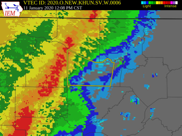
Severe Thunderstorm Warning
National Weather Service Huntsville AL
1207 PM CST Sat Jan 11 2020
The National Weather Service in Huntsville Alabama has issued a
* Severe Thunderstorm Warning for…
Morgan County in north central Alabama…
* Until 100 PM CST.
* At 1207 PM CST, severe thunderstorms were located along a line
extending from near Trinity to near Nauvoo, moving east at 25 mph.
HAZARD…60 mph wind gusts.
SOURCE…Radar indicated.
IMPACT…Expect damage to roofs, siding, and trees.
* Locations impacted include…
Decatur, Hartselle, Priceville, Trinity, Falkville, Somerville,
Eva, Valhermoso Springs, Basham and Cole Springs.
PRECAUTIONARY/PREPAREDNESS ACTIONS…
A Tornado Watch remains in effect until 100 PM CST for north central
and northwestern Alabama.
A Tornado Watch remains in effect for the warned area. Tornadoes can
develop quickly from severe thunderstorms. Although a tornado is not
immediately likely, if one is spotted, act quickly and move to a
place of safety inside a sturdy structure such as a basement or small
interior room.
For your protection move to an interior room on the lowest floor of a
building.
Category: Alabama's Weather, ALL POSTS, Severe Weather
About the Author (Author Profile)
Scott Martin is an operational meteorologist, professional graphic artist, musician, husband, and father. Not only is Scott a member of the National Weather Association, but he is also the Central Alabama Chapter of the NWA president. Scott is also the co-founder of Racecast Weather, which provides forecasts for many racing series across the USA. He also supplies forecasts for the BassMaster Elite Series events including the BassMaster Classic.Subscribe
If you enjoyed this article, subscribe to receive more just like it.


