

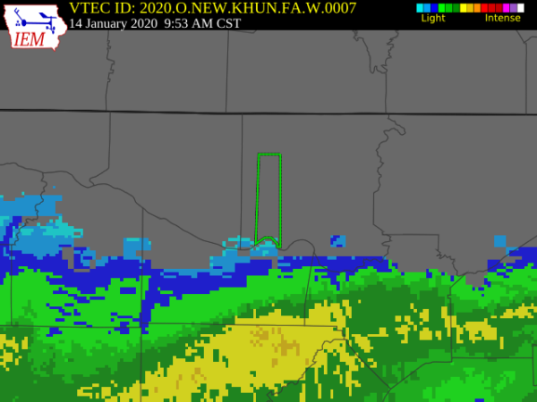
Areal Flood Warning: Parts Of Madison County Until 3:30 PM
The National Weather Service in Huntsville Alabama has issued a
* Flood Warning for…
Southwestern Madison County in north central Alabama…
* Until 330 PM CST.
* At 932 AM CST, Doppler radar and several surrounding rain gages
measured around one to two inches of rainfall that occurred in
portions of Western Madison county last night. Due to already
saturated grounds, much of this rain quickly became runoff,
filling ditches, small creeks and streams, and other tributaries
that feed into Indian Creek. The creek is expected to rise above
Flood Stage of 7.5 feet later this morning, and will crest and
then fall back below Flood Stage late this afternoon. Minor
flooding will occur along the Indian Creek Greenway during this
time, so please use caution from Providence southward to
Interstate 565.
* Some locations that will experience flooding include…
Northwestern Huntsville, Madison, Redstone Arsenal, Triana,
Marshall Space Flight Center and Harvest.
PRECAUTIONARY/PREPAREDNESS ACTIONS…
A Flood Warning means that flooding is imminent or occurring. All
interested parties should take necessary precautions immediately.
Category: Alabama's Weather, ALL POSTS, Severe Weather
About the Author (Author Profile)
Scott Martin is an operational meteorologist, professional graphic artist, musician, husband, and father. Not only is Scott a member of the National Weather Association, but he is also the Central Alabama Chapter of the NWA president. Scott is also the co-founder of Racecast Weather, which provides forecasts for many racing series across the USA. He also supplies forecasts for the BassMaster Elite Series events including the BassMaster Classic.Subscribe
If you enjoyed this article, subscribe to receive more just like it.


