

Dry Tomorrow; Some Rain Possible By Sunday Night
DRIER DAY: Sunshine has returned to part of Alabama today as a dry slot of air worked into the state, but more clouds have moved into the northern third of the state this afternoon thanks to a passing upper trough. Temperatures are in the 40s where clouds persist over North Alabama, but the rest of the state has warmed into the mid to upper 50s. Tonight will be fair and cold with a low in the low to mid 30s.
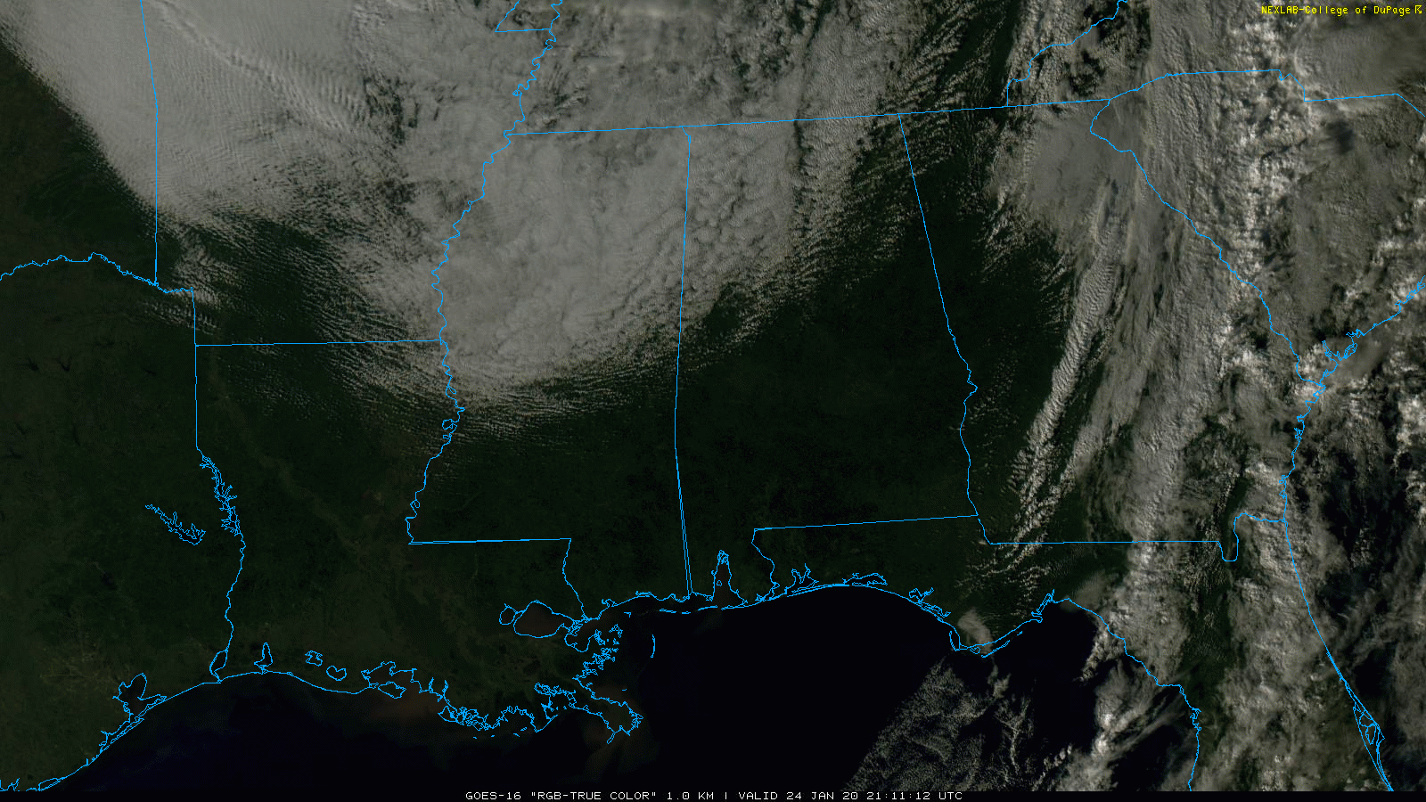
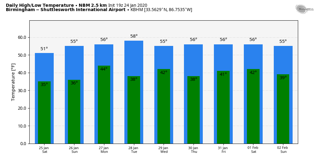
THE ALABAMA WEEKEND: Tomorrow will be cool and dry; with a partly sunny sky we expect a high around 50 degrees. Then, on Sunday, clouds will increase, and some light rain is possible by evening and into Sunday night. Sunday’s high will be in the low 50s.
NEXT WEEK: Lingering light rain is possible Monday morning, otherwise the day will be mostly cloudy. Tuesday will be dry, but some risk of rain returns Tuesday night into Wednesday with another fast moving weather disturbance. Models have been inconsistent with this feature, so forecast confidence is low. The next major rain event comes at the end of the week on Friday (January 31) as a deep surface low passes over Alabama. Temperatures through the week will be seasonal with highs mostly in the 50s… See the Weather Xtreme video for maps, graphics, and more details.
RAIN UPDATE: Birmingham’s rain total for the month is 7.62″…. 4.10″ above average. Other totals include…
Anniston 8.91″
Muscle Shoals 8.42″
Huntsville 7.50″
Tuscaloosa 6.59″
Montgomery 5.85″
Mobile 3.79″
Dothan 2.06″
ON THIS DATE IN 1967: A tornado outbreak across the Central U.S. was the furthest north ever recorded in the winter up to that time. Severe weather occurred across a good portion of southeast and east-central Iowa. Two-inch hail fell at Armstrong, and over two dozen tornadoes were reported. Five miles north of Fort Madison, one fatality occurred from a tornado along with six injuries. A tornado causing EF4 damage killed 3 people and injured 216 in St. Louis County, Missouri. Storms also affected parts of northern and central Illinois. One strong tornado in Mason County killed one person and injured three others. Another tornado moved across the Champaign-Urbana metropolitan area, injuring five people. Other strong tornadoes were reported across Carroll County in Mt. Carroll, where 12 people were injured, and near Gladstone in Henderson County. Funnel clouds were reported across the southwest section of Chicago, IL. High winds gusting to 48 mph caused a wall of a building under construction to collapse killing one and injuring four others. Iowa had never recorded a tornado in January before this outbreak. 32 total tornadoes occurred, 14 of them in Iowa. Nine twisters occurred in Missouri, 8 in Illinois and 1 in Wisconsin.
BEACH FORECAST: Click here to see the AlabamaWx Beach Forecast Center page.
WEATHER BRAINS: Don’t forget you can listen to our weekly 90 minute show anytime on your favorite podcast app. This is the show all about weather featuring many familiar voices, including our meteorologists here at ABC 33/40.
CONNECT: You can find me on all of the major social networks…
Facebook
Twitter
Instagram
Pinterest
Snapchat: spannwx
Look for my next Weather Xtreme video here by 7:00 a.m. Monday… enjoy the weekend!
Category: Alabama's Weather, ALL POSTS, Weather Xtreme Videos
About the Author (Author Profile)
James Spann is one of the most recognized and trusted television meteorologists in the industry. He holds the AMS CCM designation and television seals from the AMS and NWA. He is a past winner of the Broadcast Meteorologist of the Year from both professional organizations.Subscribe
If you enjoyed this article, subscribe to receive more just like it.


