

Spotty Showers Over North Alabama Today/Tonight; Dry Weekend Ahead
A FEW SHOWERS: A couple of clipper type systems will bring the risk of scattered showers to the northern quarter of the state over the next 24 hours, but most of Alabama will stay cool and dry. The first disturbance will bring a few showers this morning to North Alabama; there is some potential for a snow shower over the northeast corner of the state (no impact if any snow falls). Otherwise, today will feature a mix of sun and clouds with a high in the mid 50s.
The next chance of showers will come tonight, mostly north of U.S. 278 (Hamilton to Cullman to Gadsden). And, again a snow shower is possible over far Northeast Alabama, but no impact is expected (although the grass could turn white in a few spots across higher terrain by daybreak tomorrow).
THE ALABAMA WEEKEND: The weather will be dry over the weekend with a good supply of sunshine both days. The high tomorrow will be in the 55-59 degree range, and then in the upper 60s to near 70 on Sunday. Morning lows will be in the 30s.
NEXT WEEK: Monday and Tuesday will be mostly cloudy and mild with scattered showers possible both days. The high Monday will be close to 70, followed by low to mid 70s Tuesday. Rain and thunderstorms will become more widespread Tuesday night and Wednesday, but it still remains to be seen if severe storms will be an issue in Alabama. SPC does have a severe weather threat up for areas west of the state Tuesday, no risk has been defined for Wednesday.
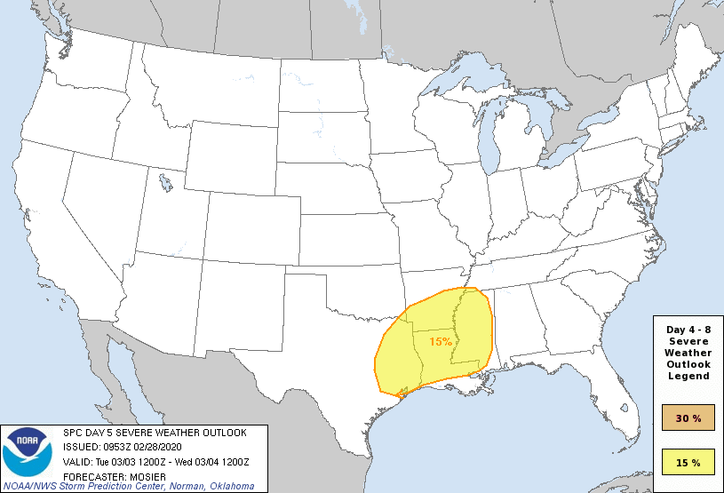
It could very well be that heavy rain will be the bigger threat Wednesday… we will have much better clarity on the setup in coming days as we get closer to the event. Thursday and Friday of next week will be dry and pleasant with lots of sunshine along with highs in the 60s. See the Weather Xtreme video for maps, graphics, and more details.

ON THIS DATE IN 1962: Wilmington, North Carolina, reached a high temperature of 85 degrees. This is the warmest temperature on record during February.
ON THI DATE IN 2018: Scattered thunderstorms develop along and near a warm front stalled across North Central Alabama. The wind shear profiles supported rotating, mini supercell thunderstorms, which combined with a sufficient thermodynamic environment and the boundary, produced a brief EF-0 tornado across far northern Cullman County north of Fairview. This tornado tracked for 1.34 miles with maximum winds of up to 75 mph.
BEACH FORECAST: Click here to see the AlabamaWx Beach Forecast Center page.
WEATHER BRAINS: Don’t forget you can listen to our weekly 90 minute show anytime on your favorite podcast app. This is the show all about weather featuring many familiar voices, including our meteorologists here at ABC 33/40.
CONNECT: You can find me on all of the major social networks…
Facebook
Twitter
Instagram
Pinterest
Snapchat: spannwx
I have a weather program this morning at Oak Mountain Elementary… look for the next Weather Xtreme video here by 4:00 this afternoon. Enjoy the day!
Category: Alabama's Weather, ALL POSTS, Weather Xtreme Videos
About the Author (Author Profile)
James Spann is one of the most recognized and trusted television meteorologists in the industry. He holds the AMS CCM designation and television seals from the AMS and NWA. He is a past winner of the Broadcast Meteorologist of the Year from both professional organizations.Subscribe
If you enjoyed this article, subscribe to receive more just like it.


