

Sunday Weather Xtreme: Beautiful Sunday, But Things Will Be Heating Up
Saturday was a beautiful day across North and Central Alabama and today promises to be another gorgeous one. Things will be heating up in coming days across the state as we say hello to June…and…
SAY GOODBYE TO MAY: The month of May will end up cooler than normal in Birmingham. The average temperature for the month will end up at 70.6, which is 1.1 degrees below normal. We will finish the month 1.56 inches above normal in the rainfall department, but 3.12 inches of that fell on the 23rd. We are still 21.32 inches above normal for the year in rainfall. It was as warm as 90F on the 24th and as cool as 24F on the 10th.
ON THE WEATHER MAPS: Two deep troughs bookend the country this morning. Both are amplifying and he western one will close off into an upper level low off the California coast. The eastern trough will move out, and the leftovers will be a ridge that will form over the Arklatex early this week. At the surface, high pressure over the Ohio Valley will slide southeastward and will set up shop off the Southeast Coast. This will keep Alabama dry and warm.
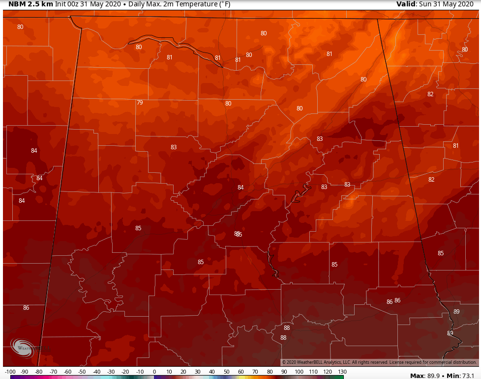
FOR YOUR SUNDAY: Today will feature near total sunshine, low humidities, and a brisk northerly wind. Highs will be limited to the upper 70s to the north, with lower and middle 80s for highs across most of the rest of the area. Southern areas will see upper 80s down around Montgomery. Lows tonight will be in the middle and upper 50s north of I-20 and between 60-65F to the south.
MONDAY THROUGH MIDWEEK: High pressure will remain in control of Alabama’s weather with plenty of sunshine each day, increasing humidities, and rising temperatures. Highs will be in the upper 80s Monday, near 90F on Tuesday, and in the lower 90s by Wednesday. Lows will be pushing toward 70F. An isolated storm could return by Wednesday afternoon, but the chance is small.
END OF THE WEEK INTO THE WEEKEND: As the high-pressure system slides off the southeastern coast later in the week, a more pronounced southerly flow will set up into Alabama. We will see the return of showers and storms, generally during the afternoon and evening hours as the upper ridge weakens and a trough begins to develop over the Great Lakes and Ohio Valley. As clouds and precip increases, highs will settle back to the upper 80s by Saturday and Sunday.
VOODOO COUNTRY: It looks like a tropical low (depression or storm) could be approaching the Gulf Coast (probably Upper Texas or Southwest Louisiana) by Tuesday the 9th. This disturbance could work its way toward western Tennessee by the 11th, possibly putting us in a favorable position for high rain chances.
BUT FIRST: We are monitoring the area about 350 miles east of Bermuda out in the open Atlantic. Development is looking less likely from this system, that seemed destined to become Tropical Storm Cristobal.
BEACHCAST: A gorgeous week of weather is ahead along the beautiful beaches of Alabama and Northwest Florida. Rain chances will go up by the end of the week and the weekend. Highs will be summer-like, with highs between 87-90. Lows will be in the lower 70s. Water temperatures are in the upper 70s. Waves are running around 1 foot.
Click here to see the Beach Forecast Center page.
WEATHERBRAINS: This week, the panel will entertain a crew from the NWS in Mobile, talking about rip currents and other beach hazards. Check out the show at www.WeatherBrains.com. You can also subscribe on iTunes. You can watch the show live at live.bigbrainsmedia.com or on James’ YouTube Channel You will be able to see the show on the James Spann 24×7 weather channel on cable or directly over the air on the dot 2 feed.
ON THIS DATE IN 1985: Pennsylvania’s deadliest tornado outbreak killed sixty-three people. At least three of the tornadoes rated as F3, seven rated F4, and one rated F5. Twelve people also died in Ohio, and another twelve died in Ontario from this same swarm of tornadoes. Follow my weather history tweets on Twitter. I am @wxhistorian at Twitter.com.
Category: Alabama's Weather, ALL POSTS
About the Author (Author Profile)
Bill Murray is the President of The Weather Factory. He is the site's official weather historian and a weekend forecaster. He also anchors the site's severe weather coverage. Bill Murray is the proud holder of National Weather Association Digital Seal #0001 @wxhistorianSubscribe
If you enjoyed this article, subscribe to receive more just like it.


