

Hot and Humid First Sunday of July
It’s a gorgeous but hot and humid first Sunday of July across North and Central Alabama.
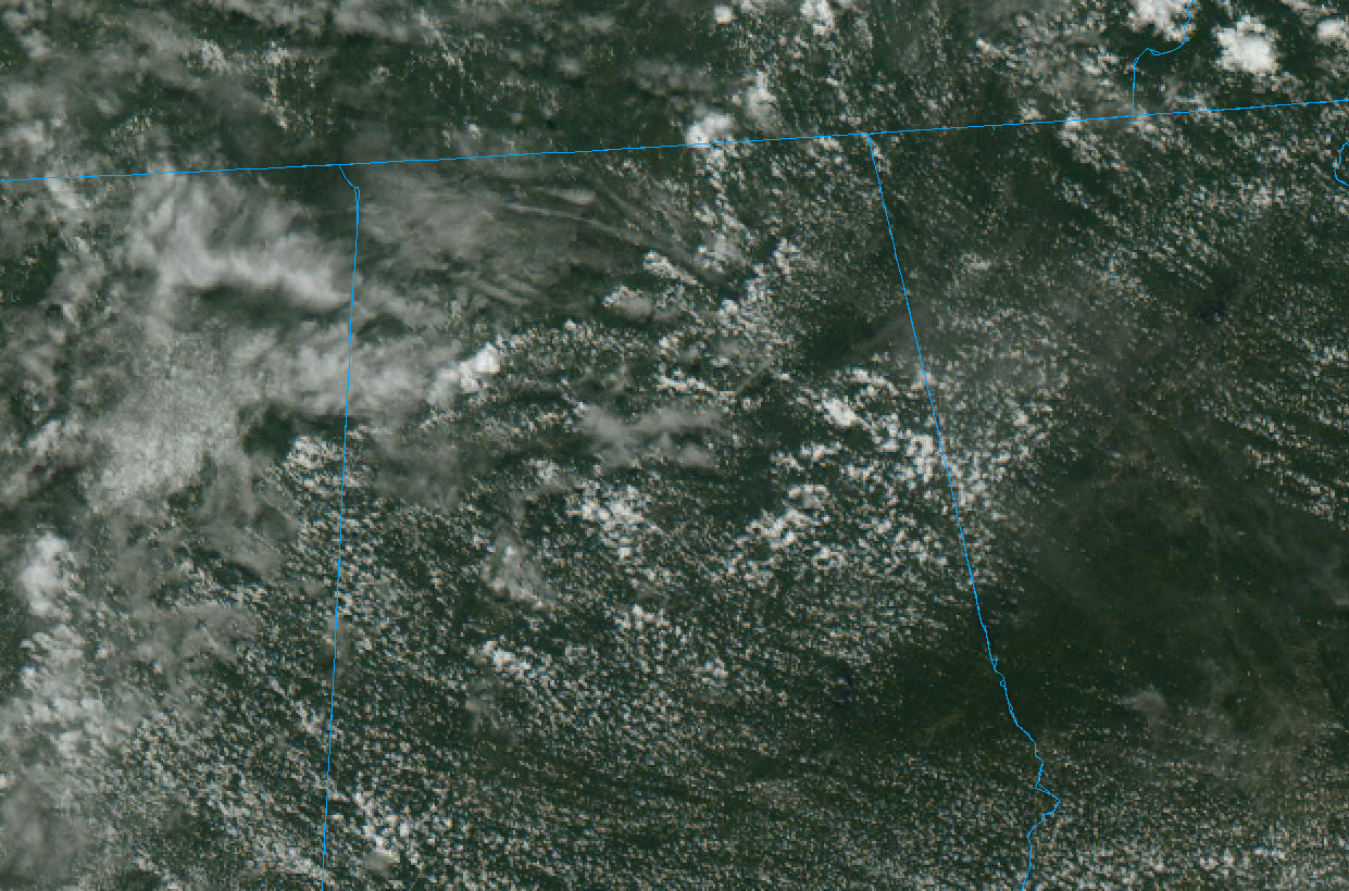
Skies are partly cloudy with temperatures already approaching the 90-degree mark in most area.
The first couple of storms of the day have shown up over Northwest Alabama’s Marion and Winston Counties near Natural Bridge and Brilliant.
Other storms will follow in the heating of the day. Instability is very high with CAPE value running over 3,000 joules/kg in many areas. Low-level lapse rates are good, so the storms will develop quickly like the ones so far, with lightning developing rapidly. Watch out for that.
Shear is non-existent, so storms will not be organized and will be of the pulse variety, developing rapidly and coming back down quickly as well.
Downdraft CAPE values are high across Central Alabama, so any storms that manage to form south of I-20 could produce damaging wind gusts. The good news is that some drier air moving in from Georgia in that area could limit storm development. We will see.
Take care out there as you enjoy the rest of your holiday weekend! It looks like the week ahead will be unsettled with a good chance of showers and storms each day Monday – Thursday. Looker for hotter and drier weather by next weekend.
Category: Alabama's Weather, ALL POSTS
About the Author (Author Profile)
Bill Murray is the President of The Weather Factory. He is the site's official weather historian and a weekend forecaster. He also anchors the site's severe weather coverage. Bill Murray is the proud holder of National Weather Association Digital Seal #0001 @wxhistorianSubscribe
If you enjoyed this article, subscribe to receive more just like it.


