

While Things Are Not as Hectic, Severe Threat Continues for a Few More Hours
RADAR CHECK AT 7:00 PM
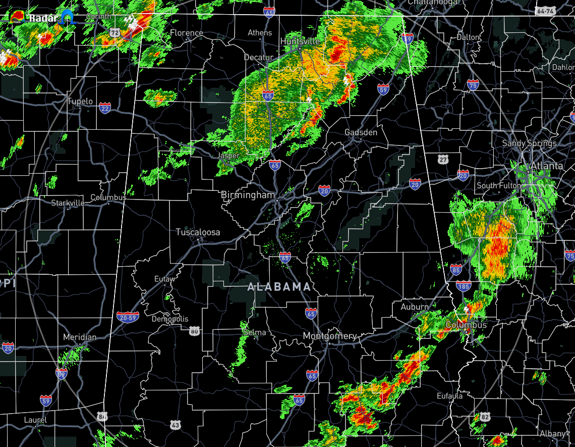
We continue to have a couple of bands of showers and thunderstorms in North/Central Alabama, with another band starting to move into the northwestern parts of the area. At this point, the storms have calmed down and we have no severe weather at the moment. That was not the case earlier as we have had a few tornado and severe thunderstorm warnings.
Any damage that has been reported has mostly been to trees being downed along with some power lines, but we have had one report of structural damage to a mobile home just outside of West Point in Cullman County. There was also some damage to a barn about a mile west of that mobile home report.
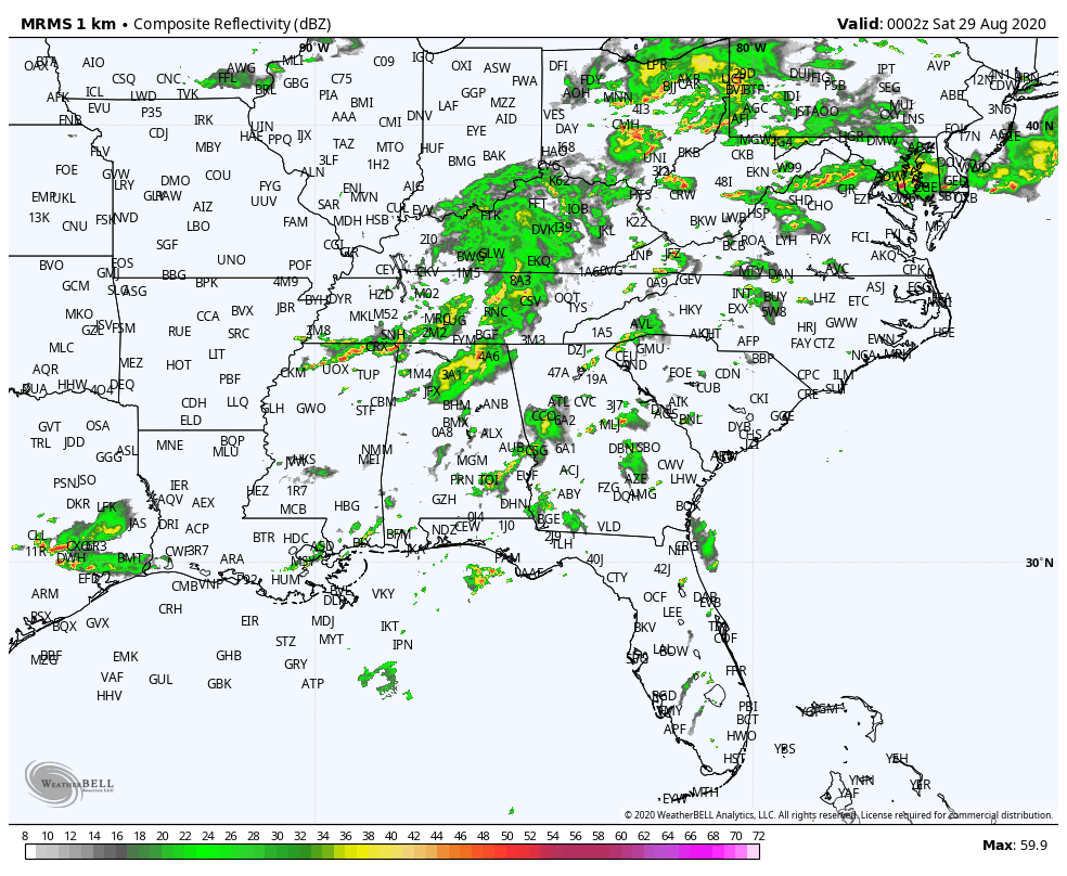
The remnants of Laura continue to move to the east-northeast through portions of Kentucky and Tennessee with some bands extending into Alabama and northern parts of Mississippi. Instability is starting to drop across North/Central Alabama as we continue to lose heating of the day, so it may be a little more difficult for storms to become strong to severe at this point. With that being said, a tornado watch continues for all counties in North Alabama and for Fayette, Lamar, Marion, Walker, and Winston counties in Central Alabama until 8:00 pm. Trends would lead us to believe that the watch will not be extended or a new one issued, but we’ll wait and see.
Category: Alabama's Weather, ALL POSTS, Severe Weather
About the Author (Author Profile)
Scott Martin is an operational meteorologist, professional graphic artist, musician, husband, and father. Not only is Scott a member of the National Weather Association, but he is also the Central Alabama Chapter of the NWA president. Scott is also the co-founder of Racecast Weather, which provides forecasts for many racing series across the USA. He also supplies forecasts for the BassMaster Elite Series events including the BassMaster Classic.Subscribe
If you enjoyed this article, subscribe to receive more just like it.


