

Cold Front Moving Into North Alabama; Lower Humidity Tomorrow
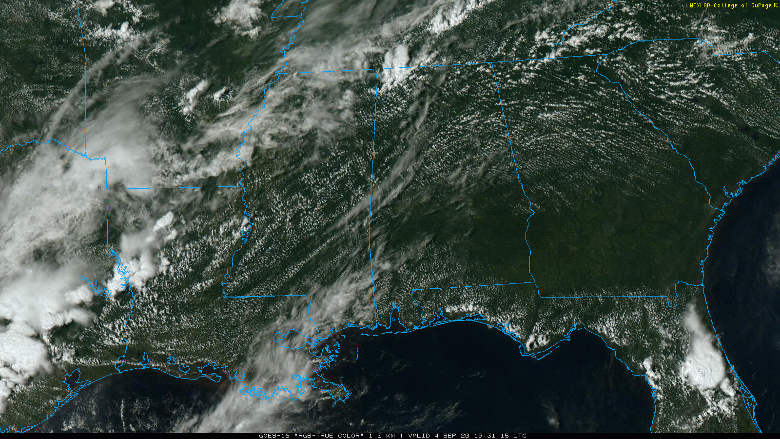
RADAR CHECK: A few showers and storms have formed over far North Alabama along a southward moving cold front, otherwise most of the state is hot and dry with a good supply of sunshine. Temperatures are mostly in the low 90s, but we are seeing some mid 90s over the western counties of the state. The front will move through the northern half of the state tonight, but other than the Tennessee Valley it will pass through in mostly dry fashion.
LABOR DAY WEEKEND: Tomorrow will be a very nice day to kick off the holiday weekend; a good supply of sunshine, lower humidity, and a high in the mid to upper 80s. We drop well down in the 60s early Sunday morning. Then, on Sunday and Monday, the sky will be partly sunny both days with only a few isolated showers, mainly over East and Southeast Alabama. Highs will remain in the 86-89 degree range.
NEXT WEEK: Showers and storms will slowly increase in number after Monday as moisture levels rise, and an upper trough approaches. Global models have trended westward with the position of the upper trough, and it looks like we will need to keep the chance of showers in the forecast on through the end of the week. Highs will remain in the 80s… See the Weather Xtreme video for maps, graphics, and more details.

TROPICS: The eastern Atlantic features three tropical waves that are being monitored; one has a low chance of development, one a medium chance, and one with a high chance of becoming a tropical depression or storm during the next five days. It remains to be seen if any of these will ultimately impact the U.S… just something to watch for now.
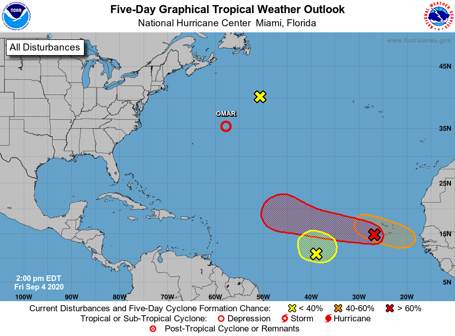
The Gulf of Mexico remains quiet; no tropical trouble there through next week. The weather for the Central Gulf Coast (Gulf Shores over to Panama City Beach) for the Labor Day weekend will be fine with a good supply of sunshine each day, and the risk of a few scattered storms. Very routine for early September.
ON THIS DATE IN 2007: Hurricane Felix came ashore in the pre-dawn hours as a Category 5 storm on the northeastern coast of Nicaragua. At the time of its landfall, the maximum sustained surface winds were approximately 160 mph. Felix killed at least 130 people along the coast, with damage in Nicaragua totaling $46.7 million.
ON THIS DATE IN 2011: The center of Tropical Storm Lee moved ashore around sunrise. However, it would be a while before Lee would weaken to a depression as it remained nearly stationary while the southern half of the circulation was over water where it could continue to derive additional energy from the warm ocean. Lee brought torrential rains to Louisiana, Mississippi, and Alabama. Some parts of Mobile County received 10 inches of rain.
BEACH FORECAST: Click here to see the AlabamaWx Beach Forecast Center page.
WEATHER BRAINS: Don’t forget you can listen to our weekly 90 minute show anytime on your favorite podcast app. This is the show all about weather featuring many familiar voices, including our meteorologists here at ABC 33/40.
CONNECT: You can find me on all of the major social networks…
Facebook
Twitter
Instagram
Pinterest
Snapchat: spannwx
Look for my next Weather Xtreme video here by 7:00 a.m. Monday… enjoy the weekend!
Category: Alabama's Weather, ALL POSTS, Weather Xtreme Videos
About the Author (Author Profile)
James Spann is one of the most recognized and trusted television meteorologists in the industry. He holds the AMS CCM designation and television seals from the AMS and NWA. He is a past winner of the Broadcast Meteorologist of the Year from both professional organizations.Subscribe
If you enjoyed this article, subscribe to receive more just like it.


