

A Beautiful Sunday Afternoon for Alabama; A New Tropical Depression Soon
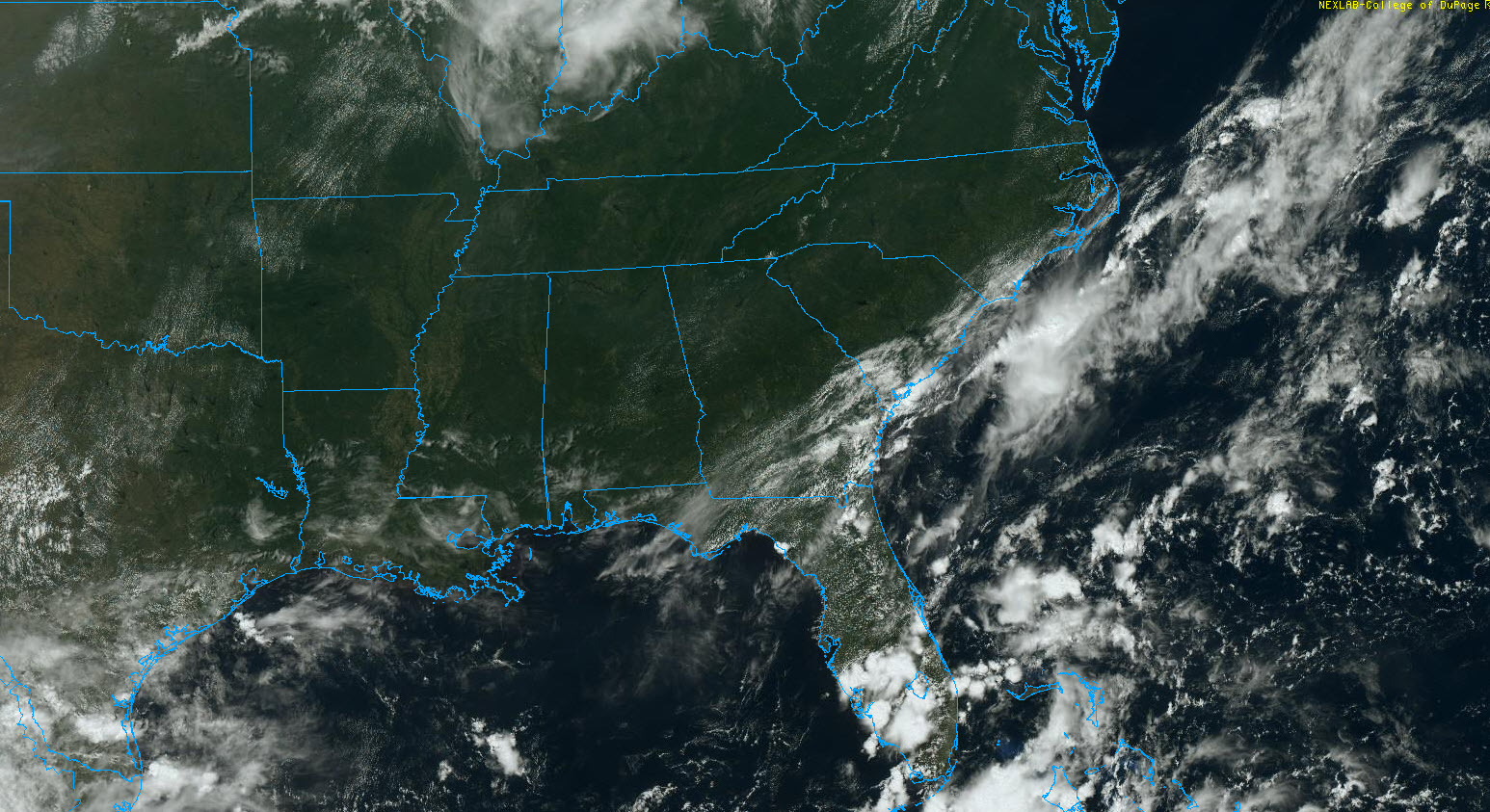
A beautiful Labor Day weekend is in progress across Alabama with sunshine-filled skies, lower humidity, and lower overnight readings.
Lows were quite nice, this morning, including…
53F in Oneonta
57 in Jasper and Cullman
58F in Haleyville
63F in Birmingham
64F in Anniston and Tuscaloosa
66F in Montgomery.
It’s plenty warm out there this afternoon, with highs heading toward the upper 80s north of US-78, near 90 in the I-20 Corridor, and lower 90s south.
Lows tonight will be quite comfortable again, with middle 60s up north, and upper 60s to the south.
It looks like it will be dry through Wednesday morning, with scattered showers returning by Wednesday afternoon as humidity levels finally rise up. rain will be in the forecast Thursday through Saturday as stubborn high pressure to our east grudgingly gives way to a trough and frontal system approaching from the west. That front may not move through until Sunday it now appears, and this led to some material changes in the forecast. Namely, that rain would not end until Sunday, and there would be no widespread cooler weather for next weekend.
Needless to say, there is not a lot of confidence in a forecast that whipsaws like this one, so it will be refined in future iterations.
In the tropics, we really close to getting a new tropical depression in the central Atlantic, about 1,400 miles east of the northern Leeward Islands. That will probably happen later this afternoon or tonight and it will likely become a tropical storm on Monday night or Tuesday. It will probably be Paulette. The only question will be if it beats another system to tropical storm status first. That one just moved off Africa and will be fast on its heels. It will likely become Rene this week. The global models think all of this activity stays east of the United States. We will be watching.
Category: Alabama's Weather, ALL POSTS, Tropical
About the Author (Author Profile)
Bill Murray is the President of The Weather Factory. He is the site's official weather historian and a weekend forecaster. He also anchors the site's severe weather coverage. Bill Murray is the proud holder of National Weather Association Digital Seal #0001 @wxhistorianSubscribe
If you enjoyed this article, subscribe to receive more just like it.


