

A Quick Midday Check on Central Alabama’s Weather
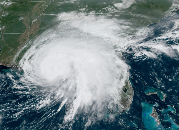

Skies are mostly cloudy as of 11:30 am from the northern side of Hurricane Sally with only a few spotty showers showing up on radar. The tropical air in place over Central Alabama will lead to the development of some scattered showers and storms later into the afternoon and evening hours for much of the area. The outer rain bands from Sally will eventually start moving up into the extreme southern portions of the area later today.
Temperatures as of the 11:00 am official roundup were in the upper 70s to the mid-80s. Tuscaloosa was the warm spot at 84 degrees. Anniston and Haleyville were the cool spots at 77 degrees. Birmingham was sitting at 82 degrees.
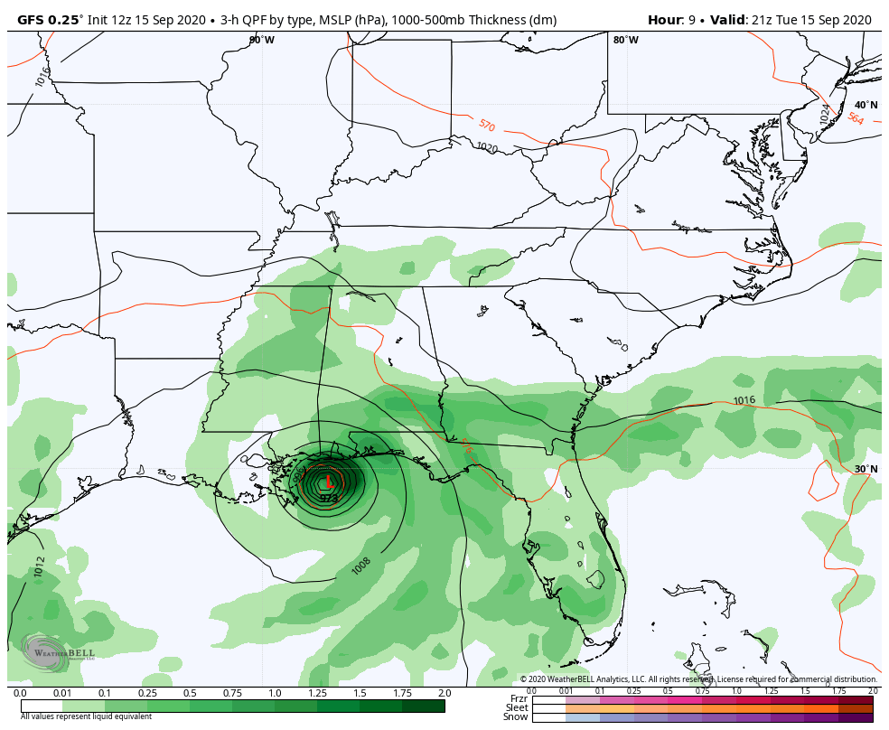
Like I mentioned earlier, several scattered showers and thunderstorms are expected to develop with the heating of the day for much of the area while tropical rain associated with the outer bands of Sally will move up into the extreme southern parts of the area. Afternoon highs will be in the lower to mid-80s across the area. We’ll continue to keep a chance of scattered showers for the northern half of Central Alabama through the night and overnight hours, while rain will be likely over the southern half due to Sally’s rain bands. Lows will be in the upper 60s to the lower 70s.
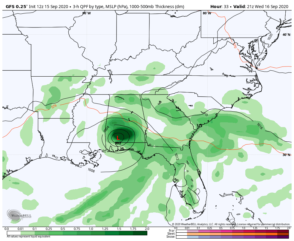
Wednesday looks to be a mainly wet and breezy day across Central Alabama as we can expect widespread showers and thunderstorms associated with what should be Tropical Depression Sally. The highest rain chances will be along and south of a line from Anniston to Birmingham to Tuscaloosa. A Flash Flood Watch will go into effect at 7:00 am Wednesday morning for nearly all of Central Alabama with the exception of the extreme northern and northwestern counties. Highs will be in the mid-70s to the lower 80s. There may be a very small chance of a brief spin-up tornado over the locations along and south of a line from Selma to Montgomery to Auburn on Wednesday afternoon and into Wednesday night as Sally moves through the area.
Category: Alabama's Weather, ALL POSTS, Severe Weather, Tropical
About the Author (Author Profile)
Scott Martin is an operational meteorologist, professional graphic artist, musician, husband, and father. Not only is Scott a member of the National Weather Association, but he is also the Central Alabama Chapter of the NWA president. Scott is also the co-founder of Racecast Weather, which provides forecasts for many racing series across the USA. He also supplies forecasts for the BassMaster Elite Series events including the BassMaster Classic.Subscribe
If you enjoyed this article, subscribe to receive more just like it.


