

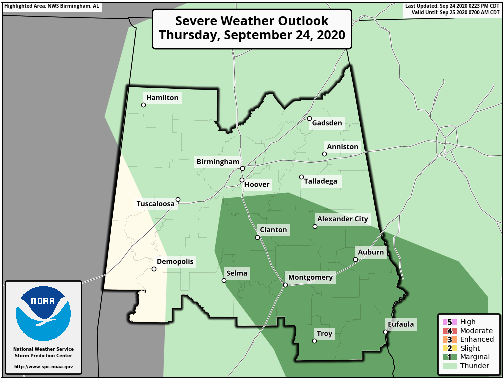
Threat of a Strong to Severe Storm Continues for a Few More Hours in the Risk Area
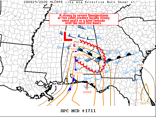
A strong to a severe thunderstorm or two is possible through the remainder of the afternoon. Locally strong wind gusts or a brief tornado are possible, but the overall threat is expected to remain limited.
From the SPC Mesoscale Discussion:
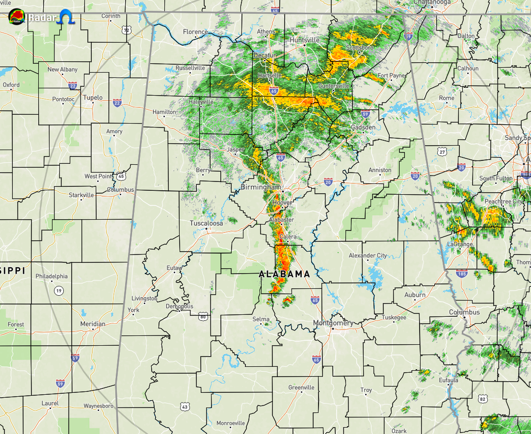
A line of stronger convection is currently ongoing across parts of central AL just to the west of Birmingham and Montgomery, along an effective cold front/wind shift. Broken cloudiness and a northward advance of the warm front has allowed modest destabilization (MLCAPE 500-1000 J/kg) to occur across the region as temperatures have warmed into the upper 70s to low 80s and dewpoints increased to the low 70s. In conjunction with this destabilization, deepening convection is experiencing stronger vertical shear closer to the surface low, located to the northwest of TCL as of 20z. Furthermore, low-level shear remains enhanced closer to the low and in the vicinity of the west-east warm front. Most recently, a weak, mini-supercell has been noted over northern Dallas County ahead of the main band of convection. Further south, another mini-supercell has been noted across Dale County in far southeast AL.
Overall, the favorable warm sector remains somewhat narrow on either side of the warm front. A lack of stronger instability and limited daytime hours left in the convective cycle should ultimately limit the severe threat. Any strong convection and related low-level rotation is expected to be very isolated and rather transient. As such, a watch is not expected at this time, though trends will continue to be monitored.
Category: Alabama's Weather, ALL POSTS, Severe Weather
About the Author (Author Profile)
Scott Martin is an operational meteorologist, professional graphic artist, musician, husband, and father. Not only is Scott a member of the National Weather Association, but he is also the Central Alabama Chapter of the NWA president. Scott is also the co-founder of Racecast Weather, which provides forecasts for many racing series across the USA. He also supplies forecasts for the BassMaster Elite Series events including the BassMaster Classic.Subscribe
If you enjoyed this article, subscribe to receive more just like it.


