

Lower Humidity Tomorrow; No Significant Rain Through The Weekend
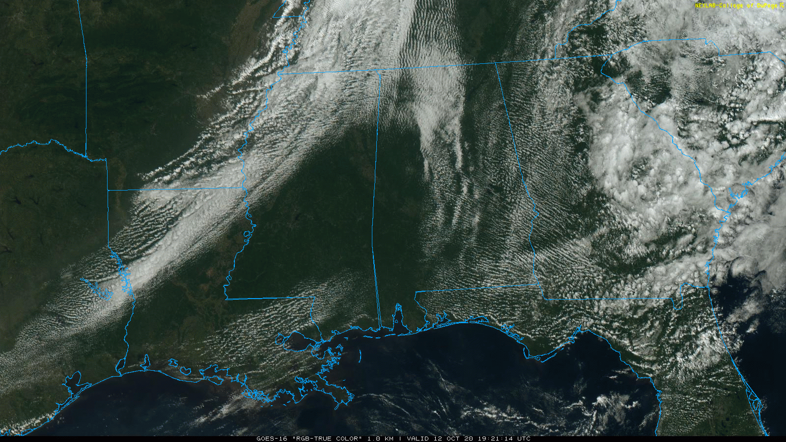
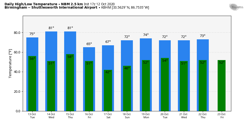
COLD FRONT ARRIVES TONIGHT: A cold front, now near Memphis, will pass through Alabama tonight mostly in dry fashion, with just a few isolated showers over the Tennessee Valley. This will bring lower humidity levels to state state tomorrow, and afternoon temperatures will be about five degrees cooler with highs in the 74-78 degree range.
Dry weather continues Wednesday and Thursday with sunny pleasant days and fair cool nights. Then, another front arrives Thursday night. Like the one this evening, it will pass through with few, if any showers, and it will bring the coolest air so far this season to much of the Deep South by Friday. The high Friday will be in the mid 60s with a cool north breeze.
THE ALABAMA WEEKEND: Saturday morning will feature some pretty chilly temperatures for October. Lows will be in the 34-42 degree range, and a number of places will see their first frost of the season. Then, expect picture perfect autumn weather for the weekend with sunny days and clear nights. The high Saturday will be close to 70, followed by mid 70s Sunday.
NEXT WEEK: For now it looks like Alabama’s weather will remain mostly rain-free next week with highs mostly in the 70s and lows in the 40s and 50s. See the Weather Xtreme video for maps, graphics, and more details.
TROPICS: Recently-received satellite wind data indicates that the circulation associated with a tropical wave located about 700 miles east of the Windward Islands has become better defined. However, upper-level wind have become less conducive for development. Some slow development of this system may occur during the next day or so while it moves generally west-northwestward near 15 mph. After that time, the upper-level winds will become even less conducive for development. The rest of the Atlantic basin, including the Gulf of Mexico, is quiet. Hurricane season ends on November 30.
ON THIS DATE IN 1979: The lowest barometric pressure ever recorded occurs in the center of Typhoon Tip on this day. A reconnaissance mission recorded the low pressure of 870 mb or 25.69″. At its peak strength, Tip was the largest tropical cyclone on record, with a wind diameter of 1,380 miles.
BEACH FORECAST: Click here to see the AlabamaWx Beach Forecast Center page.
WEATHER BRAINS: Don’t forget you can listen to our weekly 90 minute show anytime on your favorite podcast app. This is the show all about weather featuring many familiar voices, including our meteorologists here at ABC 33/40.
CONNECT: You can find me on all of the major social networks…
Facebook
Twitter
Instagram
Pinterest
Snapchat: spannwx
Look for the next Weather Xtreme video here by 7:00 a.m. tomorrow…
Category: Alabama's Weather, ALL POSTS, Weather Xtreme Videos
About the Author (Author Profile)
James Spann is one of the most recognized and trusted television meteorologists in the industry. He holds the AMS CCM designation and television seals from the AMS and NWA. He is a past winner of the Broadcast Meteorologist of the Year from both professional organizations.Subscribe
If you enjoyed this article, subscribe to receive more just like it.


