

At 12:00 am, Zeta Starts Off Thursday as a Hurricane Over Western Alabama
ZETA NOW OVER WESTERN ALABAMA
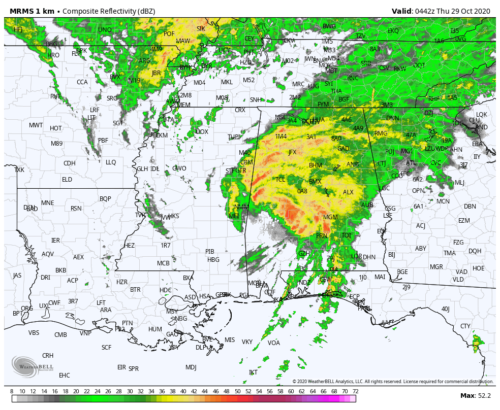
STRONG WINDS & LIFE-THREATENING SURGE CONTINUE OVER PORTIONS OF ALABAMA & MISSISSIPPI
An observation in Evergreen, Alabama, recently reported a sustained wind of 41 mph (66 km/h) and a wind gust of 68 mph (109/km/h). A wind gust of 52 mph (84 km/h) was recently observed in Pensacola, Florida. A minimum pressure of 988 MB was recently reported at Demopolis Municipal Airport in Alabama, not far from the center of Zeta.
The National Ocean Service station at Bayou La Batre Bridge, Alabama recently reported an inundation of 6.89 ft (MHHW).
This will be the final hourly Tropical Cyclone Update issued to update Zeta’s position and intensity. The next intermediate public advisory will be issued at 1 AM CDT (0600 UTC).
SUMMARY OF 1200 AM CDT…0500 UTC…INFORMATION
———————————————-
LOCATION…32.4N 87.9W
ABOUT 60 MI…95 KM SSW OF TUSCALOOSA ALABAMA
MAXIMUM SUSTAINED WINDS…75 MPH…120 KM/H
PRESENT MOVEMENT…NE OR 40 DEGREES AT 31 MPH…50 KM/H
MINIMUM CENTRAL PRESSURE…985 MB…29.09 INCHES
Category: Alabama's Weather, ALL POSTS, Severe Weather, Tropical
About the Author (Author Profile)
Scott Martin is an operational meteorologist, professional graphic artist, musician, husband, and father. Not only is Scott a member of the National Weather Association, but he is also the Central Alabama Chapter of the NWA president. Scott is also the co-founder of Racecast Weather, which provides forecasts for many racing series across the USA. He also supplies forecasts for the BassMaster Elite Series events including the BassMaster Classic.Subscribe
If you enjoyed this article, subscribe to receive more just like it.


