

Sunday Weather Xtreme: Some Freezing Fog This Morning, Showers Later Today
SOME FOG, SOME FREEZING FOG THIS MORNING: It’s chilly with some patchy fog across North and Central Alabama. It is cold enough in spots for it to be freezing fog, so there could be a slippery spot or two on bridges where you have fog and readings below 32F over the northern third of Alabama mainly near bodies of water and in low-lying valleys. Folks will need to be vigilant if traveling and watch for light icing on bridges and overpasses.
Further south, some overrunning ahead of or next weather system is producing clouds. That has prevented fog in those areas.
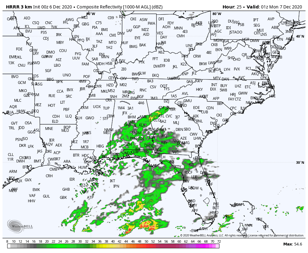
A FEW SHOWERS TODAY/TONIGHT: A few showers will reach our southwestern counties just after lunchtime today. They will expand through the afternoon and evening hours but should stay generally south of I-20.
7 p.m. Tonight (HRRR Model)
They will end from the southwest late this evening. Highs this afternoon will range from the middle 50s over the Tennessee Valley, to the upper 50s in the I-20 Corridor, to the lower 60s over far South Central Alabama. Lows tonight will look a lot like last night, in the lower 30s North, upper 30s Central, and lower 40s near Montgomery. By early tomorrow morning, Central Alabama rainfall totals will light and spotty, generally less than a quarter of an inch. So don’t expect much help from our recent dryness.
BREEZY AND COLDER MONDAY: Skies will quickly Monday morning behind the front, and you will notice a gusty northwesterly breeze. Highs Monday will be in the middle 40ss Tennessee Valley, with readings around 50F in the I-20 Corridor, and lower and middle 50s South Central. Monday night will be quite cold, with lows in the middle 20s North and upper 20s Central.
GRADUAL MODERATION FOR MIDWEEK: High pressure will take control of our weather through midweek, with partly cloudy skies on the menu for Tuesday, Wednesday, and Thursday. Highs will gradually warm from the lower and middle 50s Tuesday to 60-65F by Thursday.
WEEKEND OUTLOOK: By Friday morning, developing low pressure will be near Kansas City with showers and storms moving across the Arklatex. Our day will feature increasing clouds with a southerly breeze. Highs will be in the 60s. By Friday evening, showers and storms will be crossing the Mississippi River. Those storms will be weakening as they work into western Alabama after midnight. It appears that the front will stall across the state, never allowing the showers to move out, but continuing into Saturday night. Saturday highs will be in the lower and middle 50s. Meanwhile, a second system will form to the west and a surface low will track to near Muscle Shoals by Sunday morning. A widespread cold rain will occur on Sunday, with highs only in the 40s.
BEACHCAST: A few showers along the beautiful beaches of Alabama and Northwest Florida tonight, and then it won’t rain until next Saturday. It will be chilly ‘til midweek though, with highs in the 50s and lows in the 30s Monday and Tuesday. 60s will return for Wednesday and Thursday, with highs back near 70F for the weekend. Water temperatures have gotten chilly as well, running in the upper 50s. The rip current risk will be low this week.
Click here to see the Beach Forecast Center page.
ADVERTISE WITH US: Deliver your message to a highly engaged audience by advertising on the AlabamaWX.com website. The site enjoyed over 20 MILLION page views in the past 12 months. Don’t miss out! We can customize a creative, flexible, and affordable package that will suit your organization’s needs. Contact me, Bill Murray, at (205) 687-0782, and let’s talk.
WEATHERBRAINS: This week, the panel will entertain Sean Potter. He writes the outstanding weather history monthly column for Weatherwise Magazine. He has a new book about Cleveland Abbe, the Father of the U.SS. National Weather Service. Check out the show at www.WeatherBrains.com. You can also subscribe on iTunes. You can watch the show live at live.bigbrainsmedia.com or on James’ YouTube Channel You will be able to see the show on the James Spann 24×7 weather channel on cable or directly over the air on the dot 2 feed.
ON THIS DATE IN 1966: The first Applications Technology Satellite was launched by NASA. The mission of the ATS satellites was mainly telecommunications, but there was a camera on board for taking pictures of the Earth. Held in geosynchronous orbit above the Earth’s surface, ATS provided the first regular photographs of the cloud cover over an entire hemisphere. Images from the satellites’ cameras were beamed to Earth every thirty minutes. Looping these photographs together in the now-familiar satellite loop made it possible for meteorologists to study the movement of smaller-scale weather phenomena such as thunderstorms and squall lines. Soon the SMS )Synchronous Meteorological Satellites) would join ATS in the sky, providing an even more important geosynchronous visible and infrared view of the Earth. These were important steps to the eventual development of the GOES series of satellites used today.
Category: Alabama's Weather, ALL POSTS
About the Author (Author Profile)
Bill Murray is the President of The Weather Factory. He is the site's official weather historian and a weekend forecaster. He also anchors the site's severe weather coverage. Bill Murray is the proud holder of National Weather Association Digital Seal #0001 @wxhistorianSubscribe
If you enjoyed this article, subscribe to receive more just like it.


