

Sun Trying to Break Through Across Central Portions

Here’s a quick check of Alabama’s weather on this Sunday morning before Christmas.
Clouds are fairly thick across most of the state this morning, although there are some breaks in the clouds across Central Alabama. There are some decent blue skies showing up around Pell City in eastern Alabama.
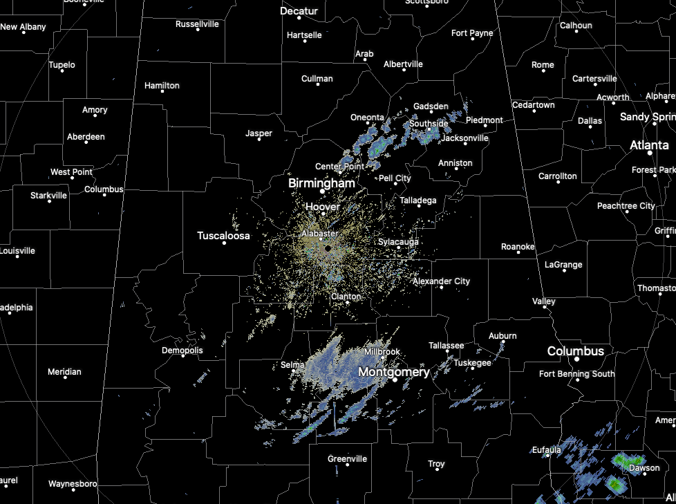
A few showers are showing up northeast of Birmingham and in the US-80 COrridor between Montgomery and Selma.
There is a pretty substantial upper-level trough approaching Alabama from the West. It will cross the state later tonight and Monday. A surface low is south of Pensacola. That low will track into the Florida Big Bend area tonight before it crosses out into the Atlantic tomorrow.
Expect patchy fog and low clouds tonight with lows in the 30s from the I-20 Corridor northward and lower and middle 40s south. Monday will feature increasing sunshine, with high in the 50s to lower 60s. Tuesday and Wednesday will be fairly nice with highs topping out around 60F.
Rain returns Wednesday night into Christmas Eve morning. That rain may change over to a little light snow or snow flurries during the day on Thursday as temperatures fall behind a cold front. Those flakes could continue into Christmas morning, especially over the Tennessee Valley. There could be some light accumulations over parts of North Alabama, although there is a great deal of uncertainty in that forecast still.
The weekend looks cool and dry.
Winter arrives tomorrow morning at 4:02 a.m. CST.
Category: Alabama's Weather, ALL POSTS
About the Author (Author Profile)
Bill Murray is the President of The Weather Factory. He is the site's official weather historian and a weekend forecaster. He also anchors the site's severe weather coverage. Bill Murray is the proud holder of National Weather Association Digital Seal #0001 @wxhistorianSubscribe
If you enjoyed this article, subscribe to receive more just like it.


