

Precipitation is Out of the Area; Now We Watch the Mercury Plummet
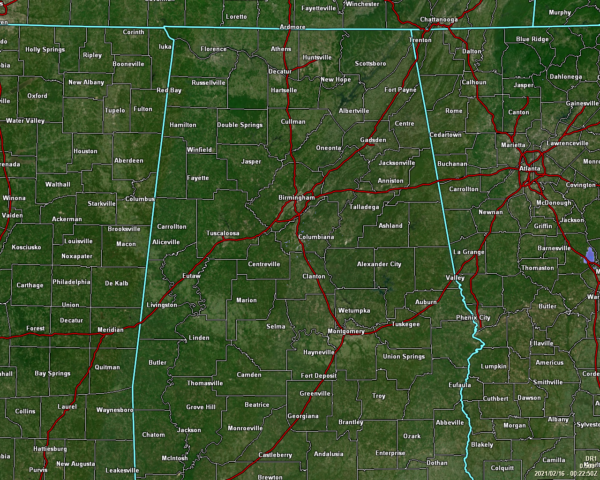
All precipitation has moved out of North/Central Alabama, so now we wait for the very cold air to move into the area. While I’m hoping that the little bit of breeze and traffic already on the interstates and secondary highways are helping to dissipate some of the standing water, now is when we really need to start watching for black ice development on roadways, bridges, and overpasses.
As of the 5:00 pm Roundup from the National Weather Service, Here are the locations that have already dropped to or below freezing:
Demopolis 29º
Tuscaloosa 29º
Muscle Shoals 26º
Vinemont 32º
Overnight lows will be very, very cold, ranging from the mid to upper single digits in the northwest to the lower to mid-20s in the southeast. Tuesday’s highs will range from the mid-20s in the northwest to the lower 40s in the southeast.
Here is the latest Hazardous Weather Outlook from NWS Birmingham:
Very cold conditions will occur tonight, with single digit readings expected in the northwest, and teens and 20s elsewhere. The cold may become life-threatening to people and animals outside without adequate warmth or shelter. Damage to plumbing may occur if pipes are not properly insulated. Also, these temperatures will freeze any remaining water on roadways resulting in dangerous black ice.
Wind chills near or a couple degrees below zero are also expected for a brief period late tonight into early Tuesday morning across far West Alabama.
Temperatures at or below 15 degrees and wind chills at or just below zero will continue into Tuesday morning, with the coldest readings in West Alabama.
A Hard Freeze Warning goes into effect at 9:00 pm tonight for Autauga, Barbour, Bibb, Blount, Bullock, Calhoun, Chambers, Cherokee, Chilton, Clay, Cleburne, Coosa, Dallas, Elmore, Etowah, Fayette, Greene, Hale, Jefferson, Lamar, Lee, Lowndes, Macon, Marengo, Marion, Montgomery, Perry, Pike, Pickens, Randolph, Russell, Shelby, St. Clair, Sumter, Talladega, Tallapoosa, Tuscaloosa, Walker, and Winston counties in Central Alabama until 11:00 am Tuesday morning.
A Wind Chill Advisory goes into effect at 12:00 am Tuesday for Fayette, Greene, Lamar, Marion, Pickens, Sumter, and Winston counties until 9:00 am Tuesday morning.
NWS Huntsville continues an Ice Storm Warning for Colbert, Cullman, Franklin, Lauderdale, Lawrence, Limestone, Madison, and Morgan counties in North Alabama until 6:00 am Tuesday morning.
NWS Huntsville also continues a Winter Storm Warning for DeKalb, Jackson, and Marshall counties in North Alabama until 6:00 am Tuesday morning.
Category: Alabama's Weather, ALL POSTS, Winter Weather
About the Author (Author Profile)
Scott Martin is an operational meteorologist, professional graphic artist, musician, husband, and father. Not only is Scott a member of the National Weather Association, but he is also the Central Alabama Chapter of the NWA president. Scott is also the co-founder of Racecast Weather, which provides forecasts for many racing series across the USA. He also supplies forecasts for the BassMaster Elite Series events including the BassMaster Classic.Subscribe
If you enjoyed this article, subscribe to receive more just like it.


