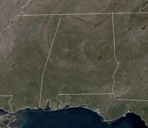
Midday Nowcast: Tons of Sunshine Across the State
Quite a cold start to the day, but with dry air mass in place, temperatures this afternoon are surging in to the upper 60s and lower 70s across the state. The sky is full of sunshine this afternoon from one end of the state to the other. It will be another clear and chilly night with lows in the mid to upper 30s by first thing tomorrow morning.
SPRING IS IN THE AIR: An upper air ridge is in place over the Gulf Coast States and that means we are going to stay dry and mainly sunny with a gradual warming trend the rest of this week. Highs tomorrow surge into the 70s area wide with mid 70s Wednesday, and highs closer to 80° Thursday and Friday. This is certainly looking like the best week of weather so far this year, and unusually quiet for March, which is typically the wettest month of the year for much of Alabama.
BEACH FORECAST CENTER: Get the latest weather and rip current forecasts for the beaches from Fort Morgan to Panama City on our Beach Forecast Center page. There, you can select the forecast of the region that you are interested in visiting.
WORLD TEMPERATURE EXTREMES: Over the last 24 hours, the highest observation outside the U.S. was 109.0F at San, Mali. The lowest observation was -72.9F at Concordia, Antarctica.
CONTIGUOUS TEMPERATURE EXTREMES: Over the last 24 hours, the highest observation was 91F at Fountain Hills, AZ. The lowest observation was -18F at Saranac Lake, NY.
WEATHER ON THIS DATE IN 1984: A freak thunder snowstorm produced high winds, vivid lightning, and up to seven inches of snow in the northern suburbs of Washington D.C.
Category: Alabama's Weather, ALL POSTS


