

Mostly Dry Weather Continues Through The Weekend
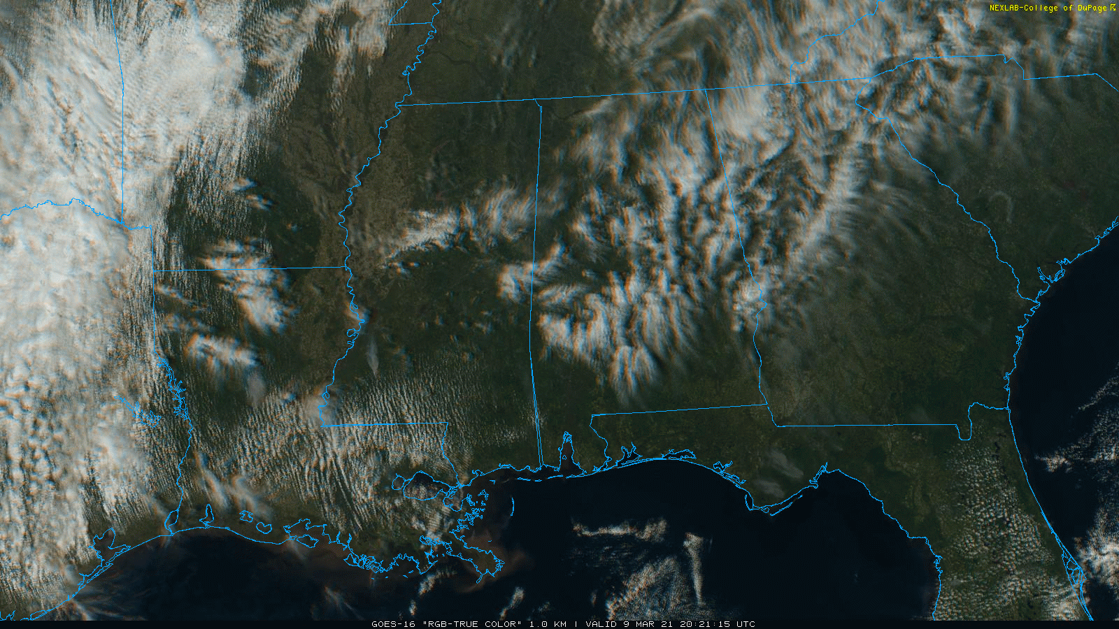
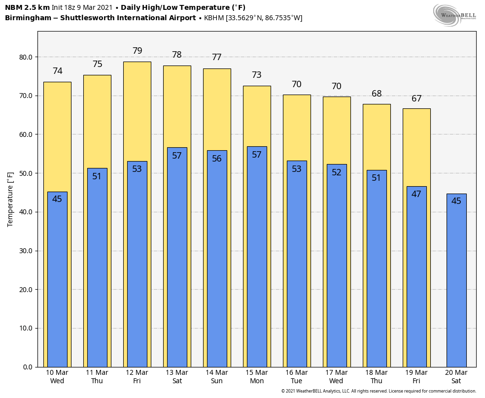
QUIET PATTERN: We have a few high altitude cirrus clouds over Alabama this afternoon, but the low levels remain dry, and there is no rain in progress statewide. Temperatures are mostly in the low 70s… the average high for Birmingham on March 9 is 65. Tonight will be mostly fair and cool with a low in the 40s.
Not much change in the weather is expected tomorrow through Friday… partly sunny days, fair nights, and warm afternoons. Highs will be in the mid 70s tomorrow, and in the 77-82 degree range Thursday and Friday. A few isolated showers could show up over the northwest corner of the state Friday, but most of Alabama will stay dry.
THE ALABAMA WEEKEND: Warm and mostly dry weather will continue. A few isolated showers are possible over the Tennessee Valley both days, but the rest of the state will be dry with partly sunny days with highs between 77 and 82. Clouds will increase Sunday night ahead of an approaching storm system that will bring the chance of severe storms during the day Sunday to much of Arkansas, Louisiana, and the eastern portions of Oklahoma and Texas.
NEXT WEEK: Showers and storms will move into Alabama Monday, but with weakening wind fields and little instability, for now the overall threat of severe thunderstorms is looking low. The surface front will become stationary, which will prolong the chance of rain at times through at least mid-week… possibly all the way through Friday. See the Weather Xtreme video for maps, graphics, and more details.
TIME CHANGE: We go back on Daylight Saving Time this weekend… we lose an hour of sleep as the clocks will be moved forward one hour Saturday night. Sunset time Sunday evening at Birmingham will be 6:54pm CDT.
ON THIS DATE IN 1998: Severe flooding struck Elba, in Southeast Alabama, when as much as 12 inches of rain fell overnight, causing a levee to break. At least two people died and over 2,000 people were evacuated.
ON THIS DATE IN 2011: Moderate to heavy rainfall spread across Alabama, resulting in widespread flash flooding and river flooding. Rainfall totals ranged from around 6 inches in western portions of the area to 2 to 4 inches elsewhere. In addition, a line of thunderstorms with areas of embedded rotation moved through Central Alabama producing wind damage across southern portions of the area, knocking down trees, power lines and causing structural damage at several locations.
BEACH FORECAST: Click here to see the AlabamaWx Beach Forecast Center page.
WEATHER BRAINS: Don’t forget you can listen to our weekly 90 minute show anytime on your favorite podcast app. This is the show all about weather featuring many familiar voices, including our meteorologists here at ABC 33/40.
CONNECT: You can find me on all of the major social networks…
Look for the next Weather Xtreme video here by 7:00 a.m. tomorrow…
Category: Alabama's Weather, ALL POSTS, Weather Xtreme Videos
About the Author (Author Profile)
James Spann is one of the most recognized and trusted television meteorologists in the industry. He holds the AMS CCM designation and television seals from the AMS and NWA. He is a past winner of the Broadcast Meteorologist of the Year from both professional organizations.Subscribe
If you enjoyed this article, subscribe to receive more just like it.


