

Sunday’s Weather Xtreme: Rain Chances Increase for Today Through Tuesday
Rain Chances Increase for Sunday
A low centered off to our west continues to pump moisture up into the southeast from the Gulf of Mexico, and moisture levels will be increasing over Central Alabama on your Sunday. Scattered showers storms will be possible early, but the coverage will be more numerous by the afternoon and into the evening hours. With the cloud cover and showers, the highs will be held back into the mid-70s to the mid-80s across the area.
Warm with Showers & Storms Possible for the Work Week Ahead
Showers and storms will continue to be likely at times, but mainly during the afternoon and evening hours on your Monday. However, a few rays of sun may peek through the clouds at some point. Highs will be in the upper 70s to the mid-80s.
While moisture levels stay elevated across Central Alabama on Tuesday, the chances for scattered showers and storms begin to slowly drop. Better chances will be over the northern and western portions of the area. Highs will be in the 80s.
Much of Central Alabama will be dry with a mix of sun and clouds on Wednesday, but a few isolated to scattered showers will be possible of the extreme northern and western parts of the area. Highs will be in the lower 80s to the lower 90s.
Same song, different verse on Thursday as the forecast will be very similar to Wednesday. Most will be dry while a few isolated to scattered showers and storms will be possible over the extreme northern and western parts of the area. Highs will be in the lower 80s to the lower 90s.
Those shower and thunderstorm chances expand a little farther south for Friday, but most locations south of I-20 look to stay dry. Highs will be in the lower 80s to the lower 90s across the area underneath partly cloudy skies.
Next Weekend
Most of the area will be dry with only a few isolated showers possible on Saturday, but moisture levels increase once again and Sunday might be a stormy day, especially during the afternoon and evening hours. Highs on both days will be in the mid-80s to the lower 90s.
Tropical Update
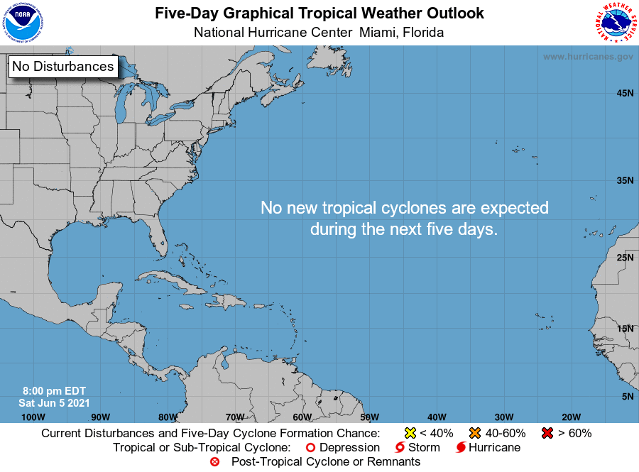
Good news for the tropics… All remains quiet across the Atlantic Basin and no new tropical systems are expected to form within the next five days over the tropical Atlantic Ocean, Caribbean Sea, and the Gulf of Mexico.
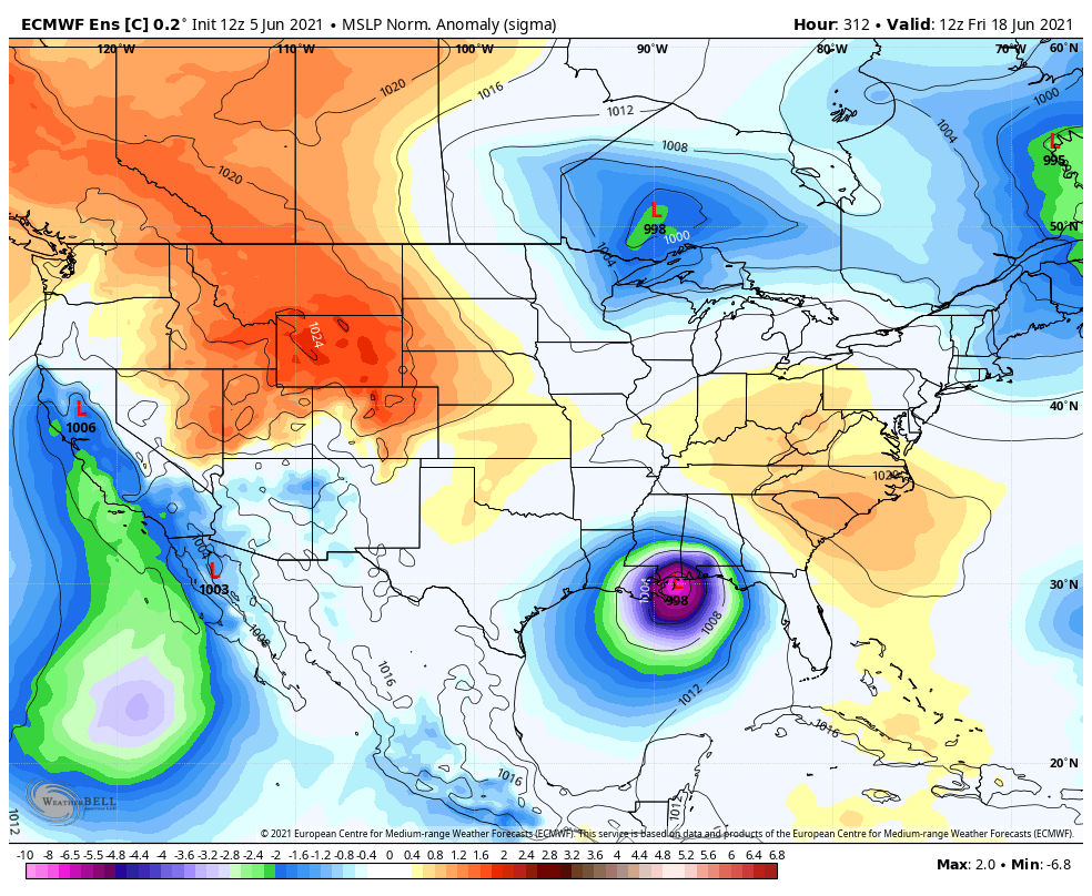
But… The European model is hinting that we may have some sort of tropical system to develop over the Gulf of Mexico and eventually move onshore very close to Mobile as a depression or weak tropical storm on Friday, June 18th. The center would then move north-northeastward to around Birmingham before it gets pushed off to the east away from the area by Sunday the 20th. We know this is still pretty far off in Voodoo Land and the next run may look completely different.
On This Day in Weather History
1975 – A tornado, reportedly spinning backwards (spinning clockwise), was sighted near Alva, OK.
1989 – Thunderstorms developing during the late morning hours produced severe weather through the afternoon and night. Thunderstorms spawned 13 tornadoes, and there were 154 reports of large hail and damaging winds. A strong (F-3) tornado injured six persons at Lorenzo, TX, and thunderstorm winds gusting to 100 mph killed one person at Glasscock City, TX. Softball size hail was reported at Lipscomb and Glen Cove TX.
Category: Alabama's Weather, ALL POSTS, Tropical, Weather Xtreme Videos
About the Author (Author Profile)
Scott Martin is an operational meteorologist, professional graphic artist, musician, husband, and father. Not only is Scott a member of the National Weather Association, but he is also the Central Alabama Chapter of the NWA president. Scott is also the co-founder of Racecast Weather, which provides forecasts for many racing series across the USA. He also supplies forecasts for the BassMaster Elite Series events including the BassMaster Classic.Subscribe
If you enjoyed this article, subscribe to receive more just like it.


