

Showers and Storms Continue to Push Across North Central Alabama; Severe Threat is Over
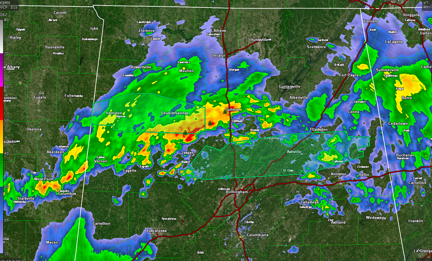
Radar continues to indicate showers and storms pushing across the northern third of the area early on this Tuesday morning.
They seem to be becoming more progressive now as the cold front seems to be getting more serious about moving southeast.
The heaviest rain this hour is over Lamar, Marion, Winston, Cullman, and Blount Counties, with moderate rain extending over much of East Central Alabama.
Here is the radar just before 12:30:
The severe weather threat has ended for tonight, but many areas will experience heavy downpours, gusty winds, and lightning and thunder through the overnight hours. The rain and storms will be pushing south and weakening during the morning hours.
Category: Alabama's Weather, ALL POSTS, Severe Weather
About the Author (Author Profile)
Bill Murray is the President of The Weather Factory. He is the site's official weather historian and a weekend forecaster. He also anchors the site's severe weather coverage. Bill Murray is the proud holder of National Weather Association Digital Seal #0001 @wxhistorianSubscribe
If you enjoyed this article, subscribe to receive more just like it.


