

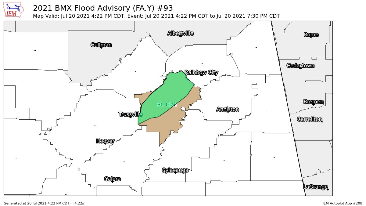
Flood Advisory for Parts of St. Clair County Until 7:30 pm
The National Weather Service in Birmingham has issued a
* Flood Advisory for…
Northern St. Clair County in central Alabama…
* Until 730 PM CDT.
* At 422 PM CDT, Doppler radar indicated heavy rain due to
thunderstorms. Minor flooding is ongoing or expected to begin
shortly in the advisory area. Between 1 and 2 inches of rain have
fallen so far. Heavy rain will continue from this area of
slow-moving storms.
* Some locations that will experience flooding include…
Leeds, Moody, Rainbow City, Springville, Odenville, Margaret,
Argo, Ashville, Steele, Branchville, Neely Henry Lake, Caldwell, I
59 Rest Areas At Oneonta, St. Clair Springs, Whitney Junction,
Horse Pens Forty, Camp Sumatanga and Alabama International Dragway.
PRECAUTIONARY/PREPAREDNESS ACTIONS…
Turn around, don’t drown when encountering flooded roads. Most flood
deaths occur in vehicles.
Category: Alabama's Weather, ALL POSTS
About the Author (Author Profile)
Scott Martin is an operational meteorologist, professional graphic artist, musician, husband, and father. Not only is Scott a member of the National Weather Association, but he is also the Central Alabama Chapter of the NWA president. Scott is also the co-founder of Racecast Weather, which provides forecasts for many racing series across the USA. He also supplies forecasts for the BassMaster Elite Series events including the BassMaster Classic.Subscribe
If you enjoyed this article, subscribe to receive more just like it.


