

Hotter, Drier Pattern Begins By The Weekend
RADAR CHECK: We have a number of showers and thunderstorms across Alabama this afternoon; the stronger storms are producing heavy rain. But, the sun is out in some places with temperatures mostly in the 80s. We note a slow cyclonic motion with the showers today thanks to a broad low pressure area over Alabama; showers and storms will fade late tonight after sunset.
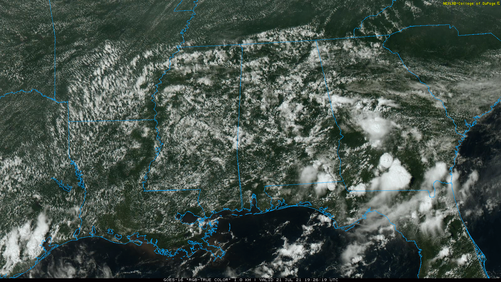
TOMORROW/FRIDAY: Not much change; look for a mix of sun and clouds both days with scattered to numerous showers and thunderstorms, most active during the afternoon and evening hours. Chance of any one spot getting wet tomorrow is 65-75 percent, and 50-60 percent Friday. The high tomorrow will be in the mid 80s, followed by upper 80s Friday.
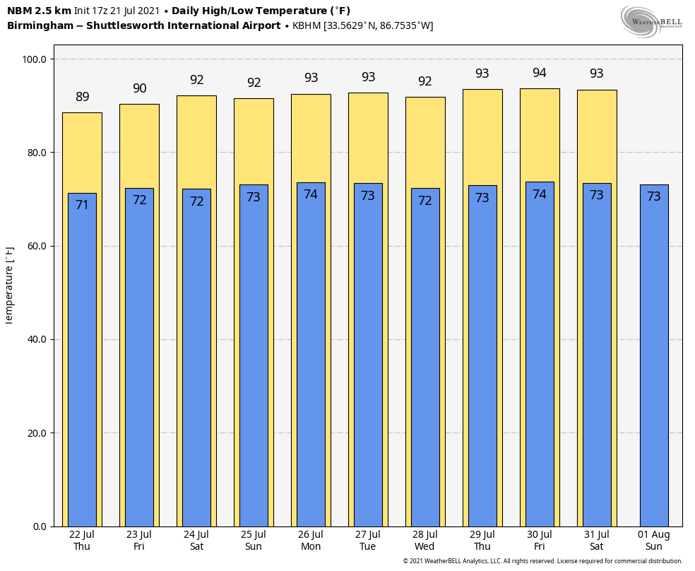
THE ALABAMA WEEKEND: An upper ridge begins to build across the region, and that will begin the trend toward hotter and drier weather for Alabama. Look for a partly to mostly sunny sky Saturday and Sunday with just a few isolated afternoon and evening thunderstorms. Chance of rain for any one given location both days is 15-25 percent, and highs will be at or just over 90 degrees.
NEXT WEEK: The ridge holds, so on most days will see a good supply of hazy sunshine with just a few isolated, random, pop-up showers and storms during the afternoon and evening hours. Afternoon highs will be in the low to mid 90s… generally in the 91-94 degree range. It should be the hottest week so far this summer… See the Weather Xtreme video for maps, graphics, and more details.
TROPICS: The Atlantic basin is quiet this afternoon. But, a broad trough of low pressure associated with a decaying frontal boundary over Mississippi and Alabama is forecast to move offshore of the southeastern United States coastline by the end of this week. Environmental conditions are forecast to be marginally conducive for some gradual development over the weekend into early next week while the system meanders offshore of the coasts of South Carolina, Georgia, and northeastern Florida. For now the chance of development is 20 percent over the next five days.
No tropical development is forecast for the Gulf of Mexico through early next week.
RAIN UPDATE: These are rain totals for the month of July so far this year, and the wettest Julys on record. This is data from the larger cities in the state with long term climate records. No records are in danger despite all the recent rain.
Huntsville so far this month 7.34″
Huntsville’s wettest July was 14.81″ in 1967
Mobile so far this month 6.17″
Mobile’s wettest July was 1916 with 20.50″
Birmingham so far this month 6.07″
Birmingham’s wettest July was 1916 with 20.12″
Montgomery so far this month 3.80″
Montgomery’s wettest July was 1916 with 13.34″
ON THIS DATE IN 1987: An F4 tornado ravages the Teton Wilderness and Yellowstone National Park in Wyoming. The tornado’s violent winds destroy millions of trees on a 24.3-mile track that traverses the Continental Divide at an elevation of 10,170 feet.
BEACH FORECAST: Click here to see the AlabamaWx Beach Forecast Center page.
WEATHER BRAINS: Don’t forget you can listen to our weekly 90 minute show anytime on your favorite podcast app. This is the show all about weather featuring many familiar voices, including our meteorologists here at ABC 33/40.
CONNECT: You can find me on all of the major social networks…
Look for the next Weather Xtreme video here by 6:00 a.m. tomorrow…
Category: Alabama's Weather, ALL POSTS, Weather Xtreme Videos
About the Author (Author Profile)
James Spann is one of the most recognized and trusted television meteorologists in the industry. He holds the AMS CCM designation and television seals from the AMS and NWA. He is a past winner of the Broadcast Meteorologist of the Year from both professional organizations.Subscribe
If you enjoyed this article, subscribe to receive more just like it.


